Kuala Kedah geodata
Kuala Kedah (Kedah) is a populated place; located in Malaysia in Asia/Kuala_Lumpur (GMT+8) time zone. With population of 19,231 people, there are 126 cities with bigger population in this country. Compared to other cities in Malaysia, 90.4% of cities are located further ↓South; 91.6% of cities are located further →East and 82% of cities have higher elevation than Kuala Kedah. Note1


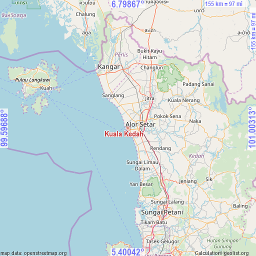
Kuala Kedah GPS coordinates[2]
6° 6' 0" North, 100° 18' 0" East
| Map corner | latitude | longitude |
|---|---|---|
| Upper-left | 6.79867°, | 99.59688° |
| Center: | 6.1°, | 100.3° |
| Lower-right: | 5.40042°, | 101.00313° |
| Map W x H: | 155.5×155.5 km | = 96.6×96.6mi |
| max Lat: | 6.88732° ⇑9.6% North |
| Kuala Kedah: | 6.1° |
| min Lat: | ⇓90.4% South 1.24722° |
| min Long | Kuala Kedah | max Long |
| 99.68252° | 100.3° | 118.61119° |
| W 8.4%⇐ | ⇒91.6% E |
Elevation
Elevation of Kuala Kedah is 7 m = 23 ft, and this is 37.7 m = 124 ft below average elevation for this country.
| Max E: |
1488 m = 4882 ft | 82% |
| Avg. | 44.7 m = 147 ft | |
| Kuala Kedah | 7 m = 23 ft | |
Min E: |
0 m = 0 ft | 18% |
See also: Malaysia elevation on elevation.city.
Geographical zone
Kuala Kedah is located in North Torrid zone (between Equator and Tropic of Cancer). Distance of Equator is 678.3 km =421.5 mi to South.| Distance of | km | miles | from Kuala Kedah |
|---|---|---|---|
| North Pole | 9328.8 | 5796.6 | to North |
| Arctic Circle | 6722.9 | 4177.4 | to North |
| Tropic Cancer | 1927.7 | 1197.8 | to North |
| Equator | 678.3 | 421.5 | to South |


Nearby cities:
15 places around Kuala Kedah: (largest is in red/bold)
• Alor Setar
7 km =4.3 mi,  70°
70°
• Ayer Hangat
63.7 km =39.6 mi,  304°
304°
• Bedong
47.4 km =29.5 mi,  150°
150°
• Gurun
36.9 km =22.9 mi, 148°
• Jitra
23 km =14.3 mi,  35°
35°
• Kampung Bukit Hantu
64.2 km =39.9 mi, 297°
• Kampung Kilim
60.2 km =37.4 mi, 304°
• Kangar
39.6 km =24.6 mi,  343°
343°
• Kepala Batas
66.3 km =41.2 mi,  167°
167°
• Kuah
56.4 km =35 mi, 296°
• Kuala Perlis
38.1 km =23.7 mi,  331°
331°
• Padang Mat Sirat
68.6 km =42.6 mi,  294°
294°
• Pantai Cenang
66.8 km =41.5 mi, 288°
• Sungai Petani
54.5 km =33.9 mi,  157°
157°
• Tanjung Rhu
65.9 km =40.9 mi,  306°
306°
Sources, notices
• [Note1] Compared only with cities in Malaysia existing in our database
• [Src1] Map data: © OpenStreetMap contributors (CC-BY-SA)
• [Src2] Other city data from geonames.org with taken over terms of usage.
• [Src3] Geographical zone / Annual Mean Temperature by Robert A. Rohde @ Wikipedia
