Afor-Oru geodata
Afor-Oru (Imo) is a seat of a second-order administrative division; located in Nigeria in Africa/Lagos (GMT+1) time zone. In our database, there are 451 cities with bigger population. Compared to other cities in Nigeria, 89.5% of cities are located further ↑North; 51.2% of cities are located further →East and 72.2% of cities have higher elevation than Afor-Oru. Note1


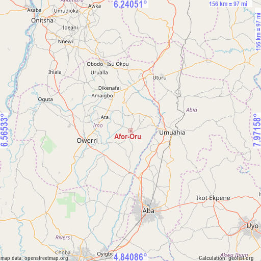
Afor-Oru GPS coordinates[2]
5° 32' 27.96" North, 7° 16' 6.42" East
| Map corner | latitude | longitude |
|---|---|---|
| Upper-left | 6.24051°, | 6.56533° |
| Center: | 5.5411°, | 7.26845° |
| Lower-right: | 4.84086°, | 7.97158° |
| Map W x H: | 155.6×155.6 km | = 96.7×96.7mi |
| max Lat: | 13.7543° ⇑89.5% North |
| Afor-Oru: | 5.5411° |
| min Lat: | ⇓10.5% South 4.31231° |
| min Long | Afor-Oru | max Long |
| 2.73333° | 7.26845° | 14.46552° |
| W 48.8%⇐ | ⇒51.2% E |
Elevation
Elevation of Afor-Oru is 137 m = 449 ft, and this is 159.5 m = 523 ft below average elevation for this country.
| Max E: |
1599 m = 5246 ft | 72.2% |
| Avg. | 296.5 m = 973 ft | |
| Afor-Oru | 137 m = 449 ft | |
Min E: |
2 m = 7 ft | 27.8% |
See also: Nigeria elevation on elevation.city.
Geographical zone
Afor-Oru is located in North Torrid zone (between Equator and Tropic of Cancer). Distance of Equator is 616.1 km =382.8 mi to South.| Distance of | km | miles | from Afor-Oru |
|---|---|---|---|
| North Pole | 9390.9 | 5835.2 | to North |
| Arctic Circle | 6785.1 | 4216.1 | to North |
| Tropic Cancer | 1989.8 | 1236.4 | to North |
| Equator | 616.1 | 382.8 | to South |


Nearby cities:
15 places around Afor-Oru: (largest is in red/bold)
• Aboh
7.3 km =4.5 mi,  177°
177°
• Amaigbo
27 km =16.8 mi,  321°
321°
• Dikenafai
28.4 km =17.6 mi,  333°
333°
• Iho
19.3 km =12 mi,  283°
283°
• Isinweke
12.6 km =7.8 mi,  45°
45°
• Itu
11 km =6.8 mi,  141°
141°
• Nwaorieubi
28.2 km =17.5 mi, 279°
• Okpuala-Ngwa
24.3 km =15.1 mi,  147°
147°
• Okwe
26.9 km =16.7 mi,  347°
347°
• Orodo
27.3 km =17 mi,  287°
287°
• Owerri
26.8 km =16.7 mi,  256°
256°
• Umuahia
25.1 km =15.6 mi,  94°
94°
• Umuelemai
16.6 km =10.3 mi, 350°
• Umundugba
26.4 km =16.4 mi,  304°
304°
• Umuneke-Ngor
26.2 km =16.3 mi,  209°
209°
Sources, notices
• [Note1] Compared only with cities in Nigeria existing in our database
• [Src1] Map data: © OpenStreetMap contributors (CC-BY-SA)
• [Src2] Other city data from geonames.org with taken over terms of usage.
• [Src3] Geographical zone / Annual Mean Temperature by Robert A. Rohde @ Wikipedia
