Ngala geodata
Ngala (Borno) is a populated place; located in Nigeria in Africa/Lagos (GMT+1) time zone. With population of 14,031 people, there are 257 cities with bigger population in this country. Compared to other cities in Nigeria, 88.7% of cities are located further ↓South; 99.8% of cities are located further ←West and 51.8% of cities have lower elevation than Ngala. Note1


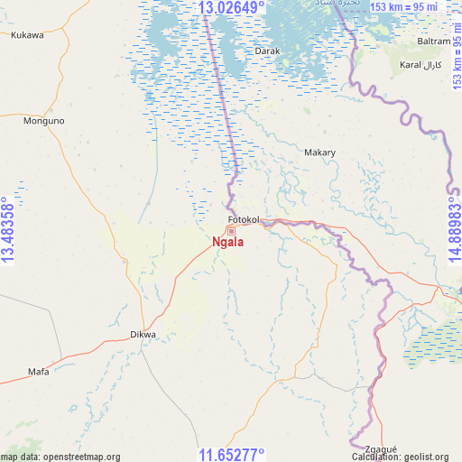
Ngala GPS coordinates[2]
12° 20' 25.908" North, 14° 11' 12.12" East
| Map corner | latitude | longitude |
|---|---|---|
| Upper-left | 13.02649°, | 13.48358° |
| Center: | 12.34053°, | 14.1867° |
| Lower-right: | 11.65277°, | 14.88983° |
| Map W x H: | 152.7×152.7 km | = 94.9×94.9mi |
| max Lat: | 13.7543° ⇑11.3% North |
| Ngala: | 12.34053° |
| min Lat: | ⇓88.7% South 4.31231° |
| min Long | Ngala | max Long |
| 2.73333° | 14.1867° | 14.46552° |
| W 99.8%⇐ | ⇒0.2% E |
Elevation
Elevation of Ngala is 294 m = 965 ft, and this is 2.5 m = 8 ft below average elevation for this country.
| Max E: |
1599 m = 5246 ft | 48.2% |
| Avg. | 296.5 m = 973 ft | |
| Ngala | 294 m = 965 ft | |
Min E: |
2 m = 7 ft | 51.8% |
See also: Nigeria elevation on elevation.city.
Geographical zone
Ngala is located in North Torrid zone (between Equator and Tropic of Cancer). Distance of this Northern Tropic circle is 1233.8 km =766.6 mi to North.| Distance of | km | miles | from Ngala |
|---|---|---|---|
| North Pole | 8634.9 | 5365.5 | to North |
| Arctic Circle | 6029 | 3746.2 | to North |
| Tropic Cancer | 1233.8 | 766.6 | to North |
| Equator | 1372.1 | 852.6 | to South |


Nearby cities:
15 places around Ngala: (largest is in red/bold)
• Bama
105.9 km =65.8 mi,  210°
210°
• Dikwa
44.7 km =27.8 mi,  220°
220°
• Gajiram
107.2 km =66.6 mi,  279°
279°
• Gamboru
4.2 km =2.6 mi,  31°
31°
• Gudumbali
128.3 km =79.7 mi,  301°
301°
• Gwoza
149.7 km =93 mi,  200°
200°
• Khaddamari
113.7 km =70.6 mi,  246°
246°
• Konduga
113.3 km =70.4 mi,  227°
227°
• Kukawa
93.6 km =58.2 mi,  313°
313°
• Mafa
78.8 km =49 mi, 233°
• Maiduguri
124.7 km =77.5 mi,  243°
243°
• Marte
38.9 km =24.2 mi,  274°
274°
• Monguno
72.4 km =45 mi, 300°
• Rann
31.3 km =19.4 mi,  104°
104°
• Tokombere
145.8 km =90.6 mi, 211°
Sources, notices
• [Note1] Compared only with cities in Nigeria existing in our database
• [Src1] Map data: © OpenStreetMap contributors (CC-BY-SA)
• [Src2] Other city data from geonames.org with taken over terms of usage.
• [Src3] Geographical zone / Annual Mean Temperature by Robert A. Rohde @ Wikipedia
