Ikot Nakanda geodata
Ikot Nakanda (Cross River) is a seat of a second-order administrative division; located in Nigeria in Africa/Lagos (GMT+1) time zone. In our database, there are 451 cities with bigger population. Compared to other cities in Nigeria, 95.4% of cities are located further ↑North; 71.3% of cities are located further ←West and 86.1% of cities have higher elevation than Ikot Nakanda. Note1


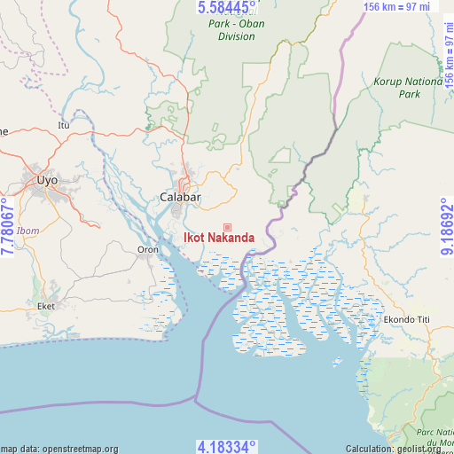
Ikot Nakanda GPS coordinates[2]
4° 53' 3.336" North, 8° 29' 1.644" East
| Map corner | latitude | longitude |
|---|---|---|
| Upper-left | 5.58445°, | 7.78067° |
| Center: | 4.88426°, | 8.48379° |
| Lower-right: | 4.18334°, | 9.18692° |
| Map W x H: | 155.8×155.8 km | = 96.8×96.8mi |
| max Lat: | 13.7543° ⇑95.4% North |
| Ikot Nakanda: | 4.88426° |
| min Lat: | ⇓4.6% South 4.31231° |
| min Long | Ikot Nakanda | max Long |
| 2.73333° | 8.48379° | 14.46552° |
| W 71.3%⇐ | ⇒28.7% E |
Elevation
Elevation of Ikot Nakanda is 53 m = 174 ft, and this is 243.5 m = 799 ft below average elevation for this country.
| Max E: |
1599 m = 5246 ft | 86.1% |
| Avg. | 296.5 m = 973 ft | |
| Ikot Nakanda | 53 m = 174 ft | |
Min E: |
2 m = 7 ft | 13.9% |
See also: Nigeria elevation on elevation.city.
Geographical zone
Ikot Nakanda is located in North Torrid zone (between Equator and Tropic of Cancer). Distance of Equator is 543.1 km =337.5 mi to South.| Distance of | km | miles | from Ikot Nakanda |
|---|---|---|---|
| North Pole | 9464 | 5880.7 | to North |
| Arctic Circle | 6858.1 | 4261.4 | to North |
| Tropic Cancer | 2062.8 | 1281.8 | to North |
| Equator | 543.1 | 337.5 | to South |


Nearby cities:
15 places around Ikot Nakanda: (largest is in red/bold)
• Akamkpa
49.7 km =30.9 mi,  343°
343°
• Akankpa
42.3 km =26.3 mi,  309°
309°
• Calabar
19.3 km =12 mi,  295°
295°
• Enwang
36.1 km =22.4 mi,  225°
225°
• Esuk Oron
27.1 km =16.8 mi,  250°
250°
• Eyofin
31.7 km =19.7 mi,  242°
242°
• Idu
54.2 km =33.7 mi,  287°
287°
• Ikang
11.8 km =7.3 mi,  153°
153°
• Nung Udoe
57.8 km =35.9 mi,  273°
273°
• Odot
49.7 km =30.9 mi,  263°
263°
• Odukpani
32.1 km =19.9 mi,  329°
329°
• Okopedi
39.9 km =24.8 mi, 264°
• Oron
28.4 km =17.6 mi, 255°
• Uquo
53.4 km =33.2 mi, 241°
• Urue Offong
38 km =23.6 mi, 247°
Sources, notices
• [Note1] Compared only with cities in Nigeria existing in our database
• [Src1] Map data: © OpenStreetMap contributors (CC-BY-SA)
• [Src2] Other city data from geonames.org with taken over terms of usage.
• [Src3] Geographical zone / Annual Mean Temperature by Robert A. Rohde @ Wikipedia
