Ikem geodata
Ikem (Enugu) is a seat of a second-order administrative division; located in Nigeria in Africa/Lagos (GMT+1) time zone. With population of 7,282 people, there are 408 cities with bigger population in this country. Compared to other cities in Nigeria, 71.5% of cities are located further ↑North; 58.3% of cities are located further ←West and 70.3% of cities have higher elevation than Ikem. Note1


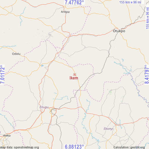
Ikem GPS coordinates[2]
6° 46' 47.748" North, 7° 42' 53.424" East
| Map corner | latitude | longitude |
|---|---|---|
| Upper-left | 7.47762°, | 7.01172° |
| Center: | 6.77993°, | 7.71484° |
| Lower-right: | 6.08123°, | 8.41797° |
| Map W x H: | 155.3×155.3 km | = 96.5×96.5mi |
| max Lat: | 13.7543° ⇑71.5% North |
| Ikem: | 6.77993° |
| min Lat: | ⇓28.5% South 4.31231° |
| min Long | Ikem | max Long |
| 2.73333° | 7.71484° | 14.46552° |
| W 58.3%⇐ | ⇒41.7% E |
Elevation
Elevation of Ikem is 146 m = 479 ft, and this is 150.5 m = 494 ft below average elevation for this country.
| Max E: |
1599 m = 5246 ft | 70.3% |
| Avg. | 296.5 m = 973 ft | |
| Ikem | 146 m = 479 ft | |
Min E: |
2 m = 7 ft | 29.7% |
See also: Nigeria elevation on elevation.city.
Geographical zone
Ikem is located in North Torrid zone (between Equator and Tropic of Cancer). Distance of Equator is 753.9 km =468.5 mi to South.| Distance of | km | miles | from Ikem |
|---|---|---|---|
| North Pole | 9253.2 | 5749.7 | to North |
| Arctic Circle | 6647.3 | 4130.4 | to North |
| Tropic Cancer | 1852.1 | 1150.8 | to North |
| Equator | 753.9 | 468.5 | to South |


Nearby cities:
15 places around Ikem: (largest is in red/bold)
• Aku
44.5 km =27.7 mi,  259°
259°
• Effium
41.4 km =25.7 mi,  113°
113°
• Eha Amufu
14.3 km =8.9 mi,  159°
159°
• Enugu-Ezike
36.5 km =22.7 mi,  308°
308°
• Ezillo
40.6 km =25.2 mi, 163°
• Ibagwa-Aka
38.1 km =23.7 mi,  293°
293°
• Igumale
28 km =17.4 mi,  85°
85°
• Nkwo Nike
37.7 km =23.4 mi,  216°
216°
• Nsukka
36.3 km =22.6 mi,  283°
283°
• Obollo-Afor
26.4 km =16.4 mi,  304°
304°
• Obolo-Eke (1)
14.6 km =9.1 mi,  321°
321°
• Ogbede
39.4 km =24.5 mi,  252°
252°
• Okpoga
30.8 km =19.1 mi,  20°
20°
• Opi
31.1 km =19.3 mi,  270°
270°
• Otukpa
36.3 km =22.6 mi,  350°
350°
Sources, notices
• [Note1] Compared only with cities in Nigeria existing in our database
• [Src1] Map data: © OpenStreetMap contributors (CC-BY-SA)
• [Src2] Other city data from geonames.org with taken over terms of usage.
• [Src3] Geographical zone / Annual Mean Temperature by Robert A. Rohde @ Wikipedia
