Iyana-Ofa geodata
Iyana-Ofa (Oyo) is a seat of a second-order administrative division; located in Nigeria in Africa/Lagos (GMT+1) time zone. In our database, there are 451 cities with bigger population. Compared to other cities in Nigeria, 61.7% of cities are located further ↑North; 91.4% of cities are located further →East and 58.7% of cities have higher elevation than Iyana-Ofa. Note1


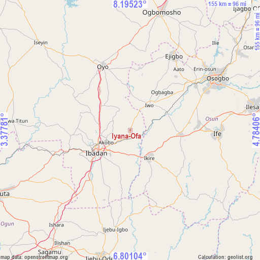
Iyana-Ofa GPS coordinates[2]
7° 29' 55.284" North, 4° 4' 51.348" East
| Map corner | latitude | longitude |
|---|---|---|
| Upper-left | 8.19523°, | 3.37781° |
| Center: | 7.49869°, | 4.08093° |
| Lower-right: | 6.80104°, | 4.78406° |
| Map W x H: | 155×155 km | = 96.3×96.3mi |
| max Lat: | 13.7543° ⇑61.7% North |
| Iyana-Ofa: | 7.49869° |
| min Lat: | ⇓38.3% South 4.31231° |
| min Long | Iyana-Ofa | max Long |
| 2.73333° | 4.08093° | 14.46552° |
| W 8.6%⇐ | ⇒91.4% E |
Elevation
Elevation of Iyana-Ofa is 219 m = 719 ft, and this is 77.5 m = 254 ft below average elevation for this country.
| Max E: |
1599 m = 5246 ft | 58.7% |
| Avg. | 296.5 m = 973 ft | |
| Iyana-Ofa | 219 m = 719 ft | |
Min E: |
2 m = 7 ft | 41.3% |
See also: Nigeria elevation on elevation.city.
Geographical zone
Iyana-Ofa is located in North Torrid zone (between Equator and Tropic of Cancer). Distance of Equator is 833.8 km =518.1 mi to South.| Distance of | km | miles | from Iyana-Ofa |
|---|---|---|---|
| North Pole | 9173.3 | 5700 | to North |
| Arctic Circle | 6567.4 | 4080.8 | to North |
| Tropic Cancer | 1772.1 | 1101.1 | to North |
| Equator | 833.8 | 518.1 | to South |


Nearby cities:
15 places around Iyana-Ofa: (largest is in red/bold)
• Akanran
25 km =15.5 mi,  194°
194°
• Apomu
19.9 km =12.4 mi,  145°
145°
• Bode Osi
32.5 km =20.2 mi,  30°
30°
• Egbeda
13.9 km =8.6 mi, 194°
• Fiditi
29.9 km =18.6 mi,  322°
322°
• Gbongan
30.1 km =18.7 mi,  94°
94°
• Ibadan
23.5 km =14.6 mi,  235°
235°
• Ikire
18.4 km =11.4 mi,  140°
140°
• Ile-Ogbo
22.7 km =14.1 mi,  53°
53°
• Iwo
18.8 km =11.7 mi,  36°
36°
• Jobele
34.4 km =21.4 mi,  328°
328°
• Lalupon
3.8 km =2.4 mi,  205°
205°
• Modakeke
23.6 km =14.7 mi,  123°
123°
• Moniya
19 km =11.8 mi,  280°
280°
• Olupona
15.9 km =9.9 mi, 45°
Sources, notices
• [Note1] Compared only with cities in Nigeria existing in our database
• [Src1] Map data: © OpenStreetMap contributors (CC-BY-SA)
• [Src2] Other city data from geonames.org with taken over terms of usage.
• [Src3] Geographical zone / Annual Mean Temperature by Robert A. Rohde @ Wikipedia
