Zuilichem geodata
Zuilichem (Gelderland) is a populated place; located in Netherlands in Europe/Amsterdam (GMT+2) time zone. With population of 1,245 people, there are 1264 cities with bigger population in this country. Compared to other cities in Netherlands, 64.2% of cities are located further ↑North; 68.8% of cities are located further →East and 65.8% of cities have higher elevation than Zuilichem. Note1


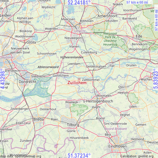
Zuilichem GPS coordinates[2]
51° 48' 33.012" North, 5° 8' 9.996" East
| Map corner | latitude | longitude |
|---|---|---|
| Upper-left | 52.24181°, | 4.43298° |
| Center: | 51.80917°, | 5.13611° |
| Lower-right: | 51.37234°, | 5.83923° |
| Map W x H: | 96.7×96.7 km | = 60.1×60.1mi |
| max Lat: | 53.48025° ⇑64.2% North |
| Zuilichem: | 51.80917° |
| min Lat: | ⇓35.8% South 50.76917° |
| min Long | Zuilichem | max Long |
| 3.38611° | 5.13611° | 7.16528° |
| W 31.2%⇐ | ⇒68.8% E |
Elevation
Elevation of Zuilichem is 3 m = 10 ft, and this is 12 m = 39 ft below average elevation for this country.
| Max E: |
203 m = 666 ft | 65.8% |
| Avg. | 15 m = 49 ft | |
| Zuilichem | 3 m = 10 ft | |
Min E: |
-6 m = -20 ft | 34.2% |
See also: Netherlands elevation on elevation.city.
Geographical zone
Zuilichem is located in North temperate zone (between Tropic of Cancer and the Arctic Circle). Distance of this North polar circle is 1640.5 km =1019.4 mi to North.| Distance of | km | miles | from Zuilichem |
|---|---|---|---|
| North Pole | 4246.4 | 2638.6 | to North |
| Arctic Circle | 1640.5 | 1019.4 | to North |
| Tropic Cancer | 3154.7 | 1960.2 | to South |
| Equator | 5760.6 | 3579.5 | to South |


Nearby cities:
15 places around Zuilichem: (largest is in red/bold)
• Aalburg
6.1 km =3.8 mi,  182°
182°
• Aalst
3 km =1.9 mi,  190°
190°
• Andel
6.1 km =3.8 mi,  241°
241°
• Brakel
3.3 km =2.1 mi,  286°
286°
• Gameren
4.8 km =3 mi,  101°
101°
• Haaften
5.2 km =3.2 mi,  81°
81°
• Hellouw
3.4 km =2.1 mi,  54°
54°
• Herwijnen
2 km =1.2 mi,  346°
346°
• Nederhemert
5.4 km =3.4 mi,  155°
155°
• Nederhemert-Noord
5.7 km =3.5 mi,  153°
153°
• Nieuwaal
2.9 km =1.8 mi,  88°
88°
• Poederoijen
4.6 km =2.9 mi, 236°
• Spijk
4.6 km =2.9 mi, 193°
• Veen
4 km =2.5 mi,  208°
208°
• Vuren
6.5 km =4 mi, 285°
Sources, notices
• [Note1] Compared only with cities in Netherlands existing in our database
• [Src1] Map data: © OpenStreetMap contributors (CC-BY-SA)
• [Src2] Other city data from geonames.org with taken over terms of usage.
• [Src3] Geographical zone / Annual Mean Temperature by Robert A. Rohde @ Wikipedia
