Raamsdonk geodata
Raamsdonk (North Brabant) is a populated place; located in Netherlands in Europe/Amsterdam (GMT+2) time zone. With population of 1,920 people, there are 989 cities with bigger population in this country. Compared to other cities in Netherlands, 69.6% of cities are located further ↑North; 76% of cities are located further →East and 83.9% of cities have higher elevation than Raamsdonk. Note1


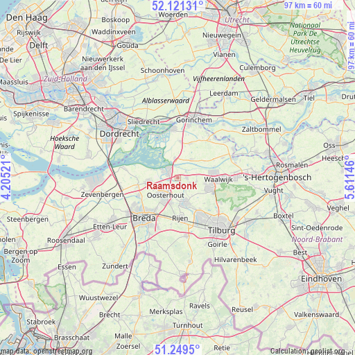
Raamsdonk GPS coordinates[2]
51° 41' 15" North, 4° 54' 29.988" East
| Map corner | latitude | longitude |
|---|---|---|
| Upper-left | 52.12131°, | 4.20521° |
| Center: | 51.6875°, | 4.90833° |
| Lower-right: | 51.2495°, | 5.61146° |
| Map W x H: | 96.9×96.9 km | = 60.2×60.2mi |
| max Lat: | 53.48025° ⇑69.6% North |
| Raamsdonk: | 51.6875° |
| min Lat: | ⇓30.4% South 50.76917° |
| min Long | Raamsdonk | max Long |
| 3.38611° | 4.90833° | 7.16528° |
| W 24%⇐ | ⇒76% E |
Elevation
Elevation of Raamsdonk is 1 m = 3 ft, and this is 14 m = 46 ft below average elevation for this country.
| Max E: |
203 m = 666 ft | 83.9% |
| Avg. | 15 m = 49 ft | |
| Raamsdonk | 1 m = 3 ft | |
Min E: |
-6 m = -20 ft | 16.1% |
See also: Netherlands elevation on elevation.city.
Geographical zone
Raamsdonk is located in North temperate zone (between Tropic of Cancer and the Arctic Circle). Distance of this North polar circle is 1654.1 km =1027.8 mi to North.| Distance of | km | miles | from Raamsdonk |
|---|---|---|---|
| North Pole | 4260 | 2647 | to North |
| Arctic Circle | 1654.1 | 1027.8 | to North |
| Tropic Cancer | 3141.2 | 1951.9 | to South |
| Equator | 5747.1 | 3571.1 | to South |


Nearby cities:
15 places around Raamsdonk: (largest is in red/bold)
• 's Gravenmoer
4.2 km =2.6 mi,  147°
147°
• Almkerk
9.9 km =6.2 mi,  20°
20°
• Besoijen
9.8 km =6.1 mi,  92°
92°
• De Moer
10.1 km =6.3 mi,  134°
134°
• Den Hout
7.4 km =4.6 mi,  243°
243°
• Dongen
7.1 km =4.4 mi,  162°
162°
• Geertruidenberg
3.9 km =2.4 mi,  293°
293°
• Made
8 km =5 mi,  261°
261°
• Meeuwen
8.5 km =5.3 mi,  56°
56°
• Oosteind
4.9 km =3 mi,  188°
188°
• Oosterhout
5.8 km =3.6 mi,  215°
215°
• Raamsdonksveer
2.6 km =1.6 mi, 293°
• Rijen
10.8 km =6.7 mi,  175°
175°
• Teteringen
10.6 km =6.6 mi,  214°
214°
• Waspik
2.5 km =1.6 mi, 92°
Sources, notices
• [Note1] Compared only with cities in Netherlands existing in our database
• [Src1] Map data: © OpenStreetMap contributors (CC-BY-SA)
• [Src2] Other city data from geonames.org with taken over terms of usage.
• [Src3] Geographical zone / Annual Mean Temperature by Robert A. Rohde @ Wikipedia
