Niebert geodata
Niebert (Groningen) is a populated place; located in Netherlands in Europe/Amsterdam (GMT+2) time zone. With population of 520 people, there are 1811 cities with bigger population in this country. Compared to other cities in Netherlands, 91.2% of cities are located further ↓South; 86.1% of cities are located further ←West and 74.9% of cities have higher elevation than Niebert. Note1


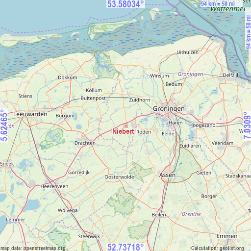
Niebert GPS coordinates[2]
53° 9' 38.988" North, 6° 19' 40.008" East
| Map corner | latitude | longitude |
|---|---|---|
| Upper-left | 53.58034°, | 5.62465° |
| Center: | 53.16083°, | 6.32778° |
| Lower-right: | 52.73718°, | 7.0309° |
| Map W x H: | 93.8×93.7 km | = 58.3×58.2mi |
| max Lat: | 53.48025° ⇑8.8% North |
| Niebert: | 53.16083° |
| min Lat: | ⇓91.2% South 50.76917° |
| min Long | Niebert | max Long |
| 3.38611° | 6.32778° | 7.16528° |
| W 86.1%⇐ | ⇒13.9% E |
Elevation
Elevation of Niebert is 2 m = 7 ft, and this is 13 m = 43 ft below average elevation for this country.
| Max E: |
203 m = 666 ft | 74.9% |
| Avg. | 15 m = 49 ft | |
| Niebert | 2 m = 7 ft | |
Min E: |
-6 m = -20 ft | 25.1% |
See also: Netherlands elevation on elevation.city.
Geographical zone
Niebert is located in North temperate zone (between Tropic of Cancer and the Arctic Circle). Distance of this North polar circle is 1490.2 km =926 mi to North.| Distance of | km | miles | from Niebert |
|---|---|---|---|
| North Pole | 4096.1 | 2545.2 | to North |
| Arctic Circle | 1490.2 | 926 | to North |
| Tropic Cancer | 3305 | 2053.6 | to South |
| Equator | 5910.9 | 3672.9 | to South |


Nearby cities:
15 places around Niebert: (largest is in red/bold)
• Diepswal
3 km =1.9 mi,  113°
113°
• Doezum
6.9 km =4.3 mi,  310°
310°
• Frieschepalen
9.9 km =6.2 mi,  234°
234°
• Grootegast
6.8 km =4.2 mi,  327°
327°
• Kornhorn
6.1 km =3.8 mi,  292°
292°
• Leek
3.2 km =2 mi,  86°
86°
• Lutjegast
9.4 km =5.8 mi, 330°
• Marum
4.7 km =2.9 mi,  246°
246°
• Niekerk
7.3 km =4.5 mi,  13°
13°
• Nietap
4.8 km =3 mi, 92°
• Nieuw-Roden
5.7 km =3.5 mi,  124°
124°
• Nuis
1.9 km =1.2 mi, 233°
• Oldekerk
6.5 km =4 mi, 7°
• Roden
6.7 km =4.2 mi, 112°
• Siegerswoude
8.8 km =5.5 mi,  219°
219°
Sources, notices
• [Note1] Compared only with cities in Netherlands existing in our database
• [Src1] Map data: © OpenStreetMap contributors (CC-BY-SA)
• [Src2] Other city data from geonames.org with taken over terms of usage.
• [Src3] Geographical zone / Annual Mean Temperature by Robert A. Rohde @ Wikipedia
