Meddo geodata
Meddo (Gelderland) is a populated place; located in Netherlands in Europe/Amsterdam (GMT+2) time zone. With population of 530 people, there are 1796 cities with bigger population in this country. Compared to other cities in Netherlands, 50.1% of cities are located further ↑North; 93.5% of cities are located further ←West and 89.8% of cities have lower elevation than Meddo. Note1


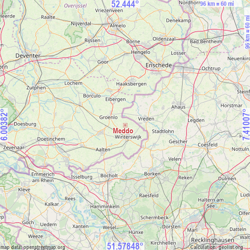
Meddo GPS coordinates[2]
52° 0' 47.988" North, 6° 42' 24.984" East
| Map corner | latitude | longitude |
|---|---|---|
| Upper-left | 52.444°, | 6.00382° |
| Center: | 52.01333°, | 6.70694° |
| Lower-right: | 51.57848°, | 7.41007° |
| Map W x H: | 96.2×96.2 km | = 59.8×59.8mi |
| max Lat: | 53.48025° ⇑50.1% North |
| Meddo: | 52.01333° |
| min Lat: | ⇓49.9% South 50.76917° |
| min Long | Meddo | max Long |
| 3.38611° | 6.70694° | 7.16528° |
| W 93.5%⇐ | ⇒6.5% E |
Elevation
Elevation of Meddo is 33 m = 108 ft, and this is 18 m = 59 ft above average elevation for this country.
| Max E: |
203 m = 666 ft | 10.2% |
| Meddo | 33 m 108 ft | |
| Avg. | 15 m = 49 ft | |
Min E: |
-6 m = -20 ft | 89.8% |
See also: Netherlands elevation on elevation.city.
Geographical zone
Meddo is located in North temperate zone (between Tropic of Cancer and the Arctic Circle). Distance of this North polar circle is 1617.8 km =1005.3 mi to North.| Distance of | km | miles | from Meddo |
|---|---|---|---|
| North Pole | 4223.7 | 2624.5 | to North |
| Arctic Circle | 1617.8 | 1005.3 | to North |
| Tropic Cancer | 3177.4 | 1974.3 | to South |
| Equator | 5783.3 | 3593.6 | to South |


Nearby cities:
15 places around Meddo: (largest is in red/bold)
• Aalten
13.1 km =8.1 mi,  221°
221°
• Beltrum
11.4 km =7.1 mi,  301°
301°
• Borculo
17 km =10.6 mi,  312°
312°
• Bredevoort
9.9 km =6.2 mi, 216°
• Eibergen
10.4 km =6.5 mi,  337°
337°
• Geesteren
18.7 km =11.6 mi,  318°
318°
• Haaksbergen
16.1 km =10 mi,  7°
7°
• Halle
19.2 km =11.9 mi,  261°
261°
• Hengevelde
21.2 km =13.2 mi,  346°
346°
• Lichtenvoorde
10 km =6.2 mi,  252°
252°
• Neede
14.9 km =9.3 mi,  334°
334°
• Rietmolen
14.5 km =9 mi, 347°
• Ruurlo
19.4 km =12.1 mi, 295°
• Varsseveld
18.7 km =11.6 mi, 245°
• Winterswijk
4.6 km =2.9 mi,  169°
169°
Sources, notices
• [Note1] Compared only with cities in Netherlands existing in our database
• [Src1] Map data: © OpenStreetMap contributors (CC-BY-SA)
• [Src2] Other city data from geonames.org with taken over terms of usage.
• [Src3] Geographical zone / Annual Mean Temperature by Robert A. Rohde @ Wikipedia
