Kerensheide geodata
Kerensheide (Limburg) is a section of populated place; located in Netherlands in Europe/Amsterdam (GMT+2) time zone. With population of 2,740 people, there are 799 cities with bigger population in this country. Compared to other cities in Netherlands, 94.1% of cities are located further ↑North; 56.2% of cities are located further ←West and 93.9% of cities have lower elevation than Kerensheide. Note1


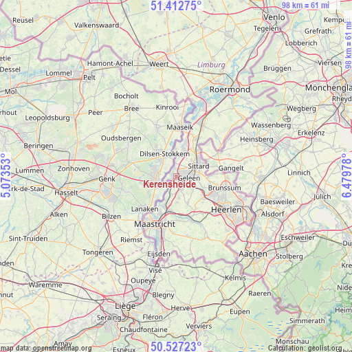
Kerensheide GPS coordinates[2]
50° 58' 19.56" North, 5° 46' 35.976" East
| Map corner | latitude | longitude |
|---|---|---|
| Upper-left | 51.41275°, | 5.07353° |
| Center: | 50.9721°, | 5.77666° |
| Lower-right: | 50.52723°, | 6.47978° |
| Map W x H: | 98.5×98.5 km | = 61.2×61.2mi |
| max Lat: | 53.48025° ⇑94.1% North |
| Kerensheide: | 50.9721° |
| min Lat: | ⇓5.9% South 50.76917° |
| min Long | Kerensheide | max Long |
| 3.38611° | 5.77666° | 7.16528° |
| W 56.2%⇐ | ⇒43.8% E |
Elevation
Elevation of Kerensheide is 57 m = 187 ft, and this is 42 m = 138 ft above average elevation for this country.
| Max E: |
203 m = 666 ft | 6.1% |
| Kerensheide | 57 m 187 ft | |
| Avg. | 15 m = 49 ft | |
Min E: |
-6 m = -20 ft | 93.9% |
See also: Netherlands elevation on elevation.city.
Geographical zone
Kerensheide is located in North temperate zone (between Tropic of Cancer and the Arctic Circle). Distance of this North polar circle is 1733.6 km =1077.2 mi to North.| Distance of | km | miles | from Kerensheide |
|---|---|---|---|
| North Pole | 4339.5 | 2696.4 | to North |
| Arctic Circle | 1733.6 | 1077.2 | to North |
| Tropic Cancer | 3061.6 | 1902.4 | to South |
| Equator | 5667.6 | 3521.7 | to South |


Nearby cities:
15 places around Kerensheide: (largest is in red/bold)
• Beek
3.8 km =2.4 mi,  157°
157°
• Berg
3.6 km =2.2 mi,  353°
353°
• Catsop
3.7 km =2.3 mi,  190°
190°
• Einighausen
4.9 km =3 mi,  47°
47°
• Elsloo
2.6 km =1.6 mi, 189°
• Geleen
3.7 km =2.3 mi,  86°
86°
• Guttecoven
5.6 km =3.5 mi,  31°
31°
• Lindenheuvel
3.2 km =2 mi,  62°
62°
• Meers
2.7 km =1.7 mi,  244°
244°
• Neerbeek
3.7 km =2.3 mi,  132°
132°
• Nieuwdorp
1.1 km =0.7 mi, 193°
• Spaubeek
5.9 km =3.7 mi, 127°
• Stein
0.8 km =0.5 mi,  245°
245°
• Sweikhuizen
5.3 km =3.3 mi,  111°
111°
• Urmond
2.1 km =1.3 mi, 351°
Sources, notices
• [Note1] Compared only with cities in Netherlands existing in our database
• [Src1] Map data: © OpenStreetMap contributors (CC-BY-SA)
• [Src2] Other city data from geonames.org with taken over terms of usage.
• [Src3] Geographical zone / Annual Mean Temperature by Robert A. Rohde @ Wikipedia
