Grevenbicht geodata
Grevenbicht (Limburg) is a populated place; located in Netherlands in Europe/Amsterdam (GMT+2) time zone. With population of 2,355 people, there are 880 cities with bigger population in this country. Compared to other cities in Netherlands, 93.1% of cities are located further ↑North; 56.1% of cities are located further ←West and 89.8% of cities have lower elevation than Grevenbicht. Note1


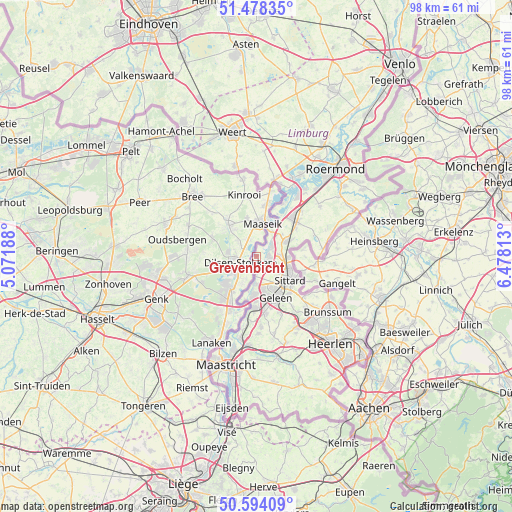
Grevenbicht GPS coordinates[2]
51° 2' 17.988" North, 5° 46' 30" East
| Map corner | latitude | longitude |
|---|---|---|
| Upper-left | 51.47835°, | 5.07188° |
| Center: | 51.03833°, | 5.775° |
| Lower-right: | 50.59409°, | 6.47813° |
| Map W x H: | 98.3×98.3 km | = 61.1×61.1mi |
| max Lat: | 53.48025° ⇑93.1% North |
| Grevenbicht: | 51.03833° |
| min Lat: | ⇓6.9% South 50.76917° |
| min Long | Grevenbicht | max Long |
| 3.38611° | 5.775° | 7.16528° |
| W 56.1%⇐ | ⇒43.9% E |
Elevation
Elevation of Grevenbicht is 33 m = 108 ft, and this is 18 m = 59 ft above average elevation for this country.
| Max E: |
203 m = 666 ft | 10.2% |
| Grevenbicht | 33 m 108 ft | |
| Avg. | 15 m = 49 ft | |
Min E: |
-6 m = -20 ft | 89.8% |
See also: Netherlands elevation on elevation.city.
Geographical zone
Grevenbicht is located in North temperate zone (between Tropic of Cancer and the Arctic Circle). Distance of this North polar circle is 1726.2 km =1072.6 mi to North.| Distance of | km | miles | from Grevenbicht |
|---|---|---|---|
| North Pole | 4332.1 | 2691.8 | to North |
| Arctic Circle | 1726.2 | 1072.6 | to North |
| Tropic Cancer | 3069 | 1907 | to South |
| Equator | 5674.9 | 3526.2 | to South |


Nearby cities:
15 places around Grevenbicht: (largest is in red/bold)
• Berg
3.8 km =2.4 mi,  184°
184°
• Born
2.5 km =1.6 mi,  106°
106°
• Buchten
2.5 km =1.6 mi,  77°
77°
• Dieteren
6.5 km =4 mi,  49°
49°
• Einighausen
5.5 km =3.4 mi,  137°
137°
• Guttecoven
4 km =2.5 mi,  130°
130°
• Holtum
3.5 km =2.2 mi,  72°
72°
• Kerensheide
7.4 km =4.6 mi, 179°
• Limbricht
5.3 km =3.3 mi,  124°
124°
• Lindenheuvel
6.6 km =4.1 mi,  153°
153°
• Obbicht
1.2 km =0.7 mi,  160°
160°
• Overhoven
7.2 km =4.5 mi, 117°
• Papenhoven
0.6 km =0.4 mi,  9°
9°
• Roosteren
5.8 km =3.6 mi,  31°
31°
• Urmond
5.3 km =3.3 mi, 182°
Sources, notices
• [Note1] Compared only with cities in Netherlands existing in our database
• [Src1] Map data: © OpenStreetMap contributors (CC-BY-SA)
• [Src2] Other city data from geonames.org with taken over terms of usage.
• [Src3] Geographical zone / Annual Mean Temperature by Robert A. Rohde @ Wikipedia
