Garderen geodata
Garderen (Gelderland) is a populated place; located in Netherlands in Europe/Amsterdam (GMT+2) time zone. With population of 1,320 people, there are 1227 cities with bigger population in this country. Compared to other cities in Netherlands, 63% of cities are located further ↓South; 52.5% of cities are located further ←West and 93.1% of cities have lower elevation than Garderen. Note1


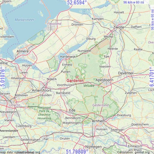
Garderen GPS coordinates[2]
52° 13' 50.988" North, 5° 42' 50.004" East
| Map corner | latitude | longitude |
|---|---|---|
| Upper-left | 52.6594°, | 5.01076° |
| Center: | 52.23083°, | 5.71389° |
| Lower-right: | 51.79809°, | 6.41701° |
| Map W x H: | 95.8×95.8 km | = 59.5×59.5mi |
| max Lat: | 53.48025° ⇑37% North |
| Garderen: | 52.23083° |
| min Lat: | ⇓63% South 50.76917° |
| min Long | Garderen | max Long |
| 3.38611° | 5.71389° | 7.16528° |
| W 52.5%⇐ | ⇒47.5% E |
Elevation
Elevation of Garderen is 48 m = 157 ft, and this is 33 m = 108 ft above average elevation for this country.
| Max E: |
203 m = 666 ft | 6.9% |
| Garderen | 48 m 157 ft | |
| Avg. | 15 m = 49 ft | |
Min E: |
-6 m = -20 ft | 93.1% |
See also: Netherlands elevation on elevation.city.
Geographical zone
Garderen is located in North temperate zone (between Tropic of Cancer and the Arctic Circle). Distance of this North polar circle is 1593.7 km =990.3 mi to North.| Distance of | km | miles | from Garderen |
|---|---|---|---|
| North Pole | 4199.5 | 2609.4 | to North |
| Arctic Circle | 1593.7 | 990.3 | to North |
| Tropic Cancer | 3201.6 | 1989.4 | to South |
| Equator | 5807.5 | 3608.6 | to South |


Nearby cities:
15 places around Garderen: (largest is in red/bold)
• Appel
12.8 km =8 mi,  247°
247°
• Barneveld
13.4 km =8.3 mi,  221°
221°
• Berg en Bos
15 km =9.3 mi,  94°
94°
• Elspeet
8.5 km =5.3 mi,  37°
37°
• Ermelo
9.8 km =6.1 mi,  320°
320°
• Harderwijk
13.9 km =8.6 mi,  332°
332°
• Harskamp
11.5 km =7.1 mi,  166°
166°
• Hulshorst
14.8 km =9.2 mi,  4°
4°
• Kootwijkerbroek
9.4 km =5.8 mi,  198°
198°
• Putten
7.9 km =4.9 mi,  293°
293°
• Stroe
5.2 km =3.2 mi, 196°
• Uddel
5.5 km =3.4 mi,  55°
55°
• Voorthuizen
8.9 km =5.5 mi,  236°
236°
• Wekerom
13.2 km =8.2 mi,  180°
180°
• Westeneng
11.5 km =7.1 mi, 179°
Sources, notices
• [Note1] Compared only with cities in Netherlands existing in our database
• [Src1] Map data: © OpenStreetMap contributors (CC-BY-SA)
• [Src2] Other city data from geonames.org with taken over terms of usage.
• [Src3] Geographical zone / Annual Mean Temperature by Robert A. Rohde @ Wikipedia
