Elspeet geodata
Elspeet (Gelderland) is a populated place; located in Netherlands in Europe/Amsterdam (GMT+2) time zone. With population of 2,810 people, there are 782 cities with bigger population in this country. Compared to other cities in Netherlands, 66% of cities are located further ↓South; 56.9% of cities are located further ←West and 90.5% of cities have lower elevation than Elspeet. Note1


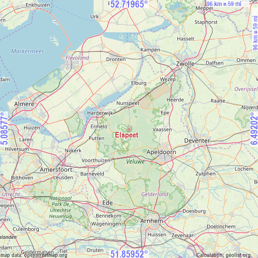
Elspeet GPS coordinates[2]
52° 17' 30.012" North, 5° 47' 20.004" East
| Map corner | latitude | longitude |
|---|---|---|
| Upper-left | 52.71965°, | 5.08577° |
| Center: | 52.29167°, | 5.78889° |
| Lower-right: | 51.85952°, | 6.49202° |
| Map W x H: | 95.6×95.6 km | = 59.4×59.4mi |
| max Lat: | 53.48025° ⇑34% North |
| Elspeet: | 52.29167° |
| min Lat: | ⇓66% South 50.76917° |
| min Long | Elspeet | max Long |
| 3.38611° | 5.78889° | 7.16528° |
| W 56.9%⇐ | ⇒43.1% E |
Elevation
Elevation of Elspeet is 34 m = 112 ft, and this is 19 m = 62 ft above average elevation for this country.
| Max E: |
203 m = 666 ft | 9.5% |
| Elspeet | 34 m 112 ft | |
| Avg. | 15 m = 49 ft | |
Min E: |
-6 m = -20 ft | 90.5% |
See also: Netherlands elevation on elevation.city.
Geographical zone
Elspeet is located in North temperate zone (between Tropic of Cancer and the Arctic Circle). Distance of this North polar circle is 1586.9 km =986.1 mi to North.| Distance of | km | miles | from Elspeet |
|---|---|---|---|
| North Pole | 4192.8 | 2605.3 | to North |
| Arctic Circle | 1586.9 | 986.1 | to North |
| Tropic Cancer | 3208.4 | 1993.6 | to South |
| Equator | 5814.3 | 3612.8 | to South |


Nearby cities:
15 places around Elspeet: (largest is in red/bold)
• Berg en Bos
12.7 km =7.9 mi,  128°
128°
• Emst
12.8 km =8 mi,  77°
77°
• Ermelo
11.4 km =7.1 mi,  273°
273°
• Garderen
8.5 km =5.3 mi,  217°
217°
• Harderwijk
12.7 km =7.9 mi,  295°
295°
• Het Loo
12.9 km =8 mi,  119°
119°
• Hommelbrink
13.2 km =8.2 mi, 116°
• Hulshorst
8.9 km =5.5 mi,  334°
334°
• Nunspeet
9.7 km =6 mi,  358°
358°
• Putten
12.9 km =8 mi,  253°
253°
• Spainkbos
13.3 km =8.3 mi, 125°
• Sprengenbos
13.2 km =8.2 mi, 127°
• Stroe
13.5 km =8.4 mi,  209°
209°
• Uddel
3.7 km =2.3 mi,  188°
188°
• Vaassen
12.1 km =7.5 mi,  93°
93°
Sources, notices
• [Note1] Compared only with cities in Netherlands existing in our database
• [Src1] Map data: © OpenStreetMap contributors (CC-BY-SA)
• [Src2] Other city data from geonames.org with taken over terms of usage.
• [Src3] Geographical zone / Annual Mean Temperature by Robert A. Rohde @ Wikipedia
