Drogeham geodata
Drogeham (Friesland) is a populated place; located in Netherlands in Europe/Amsterdam (GMT+2) time zone. With population of 1,530 people, there are 1115 cities with bigger population in this country. Compared to other cities in Netherlands, 93.2% of cities are located further ↓South; 80% of cities are located further ←West and 74.9% of cities have higher elevation than Drogeham. Note1


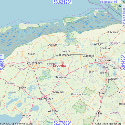
Drogeham GPS coordinates[2]
53° 12' 7.668" North, 6° 6' 42.588" East
| Map corner | latitude | longitude |
|---|---|---|
| Upper-left | 53.62123°, | 5.40871° |
| Center: | 53.20213°, | 6.11183° |
| Lower-right: | 52.77889°, | 6.81496° |
| Map W x H: | 93.7×93.7 km | = 58.2×58.2mi |
| max Lat: | 53.48025° ⇑6.8% North |
| Drogeham: | 53.20213° |
| min Lat: | ⇓93.2% South 50.76917° |
| min Long | Drogeham | max Long |
| 3.38611° | 6.11183° | 7.16528° |
| W 80%⇐ | ⇒20% E |
Elevation
Elevation of Drogeham is 2 m = 7 ft, and this is 13 m = 43 ft below average elevation for this country.
| Max E: |
203 m = 666 ft | 74.9% |
| Avg. | 15 m = 49 ft | |
| Drogeham | 2 m = 7 ft | |
Min E: |
-6 m = -20 ft | 25.1% |
See also: Netherlands elevation on elevation.city.
Geographical zone
Drogeham is located in North temperate zone (between Tropic of Cancer and the Arctic Circle). Distance of this North polar circle is 1485.7 km =923.2 mi to North.| Distance of | km | miles | from Drogeham |
|---|---|---|---|
| North Pole | 4091.5 | 2542.3 | to North |
| Arctic Circle | 1485.7 | 923.2 | to North |
| Tropic Cancer | 3309.6 | 2056.5 | to South |
| Equator | 5915.5 | 3675.7 | to South |


Nearby cities:
15 places around Drogeham: (largest is in red/bold)
• Augustinusga
3.8 km =2.4 mi,  62°
62°
• Boelenslaan
5 km =3.1 mi,  153°
153°
• Buitenpost
5.9 km =3.7 mi,  21°
21°
• Eastermar
4.6 km =2.9 mi,  228°
228°
• Harkema
2.5 km =1.6 mi, 145°
• Houtigehage
6 km =3.7 mi,  158°
158°
• Jistrum
3.2 km =2 mi,  289°
289°
• Kollumerzwaag
7.1 km =4.4 mi,  340°
340°
• Kootstertille
1.8 km =1.1 mi,  311°
311°
• Rottevalle
6.3 km =3.9 mi,  184°
184°
• Surhuisterveen
4.3 km =2.7 mi,  116°
116°
• Surhuizum
4.5 km =2.8 mi,  86°
86°
• Twijzel
3.6 km =2.2 mi, 335°
• Twijzelerheide
6.1 km =3.8 mi, 313°
• Zwagerbosch
6.7 km =4.2 mi,  320°
320°
Sources, notices
• [Note1] Compared only with cities in Netherlands existing in our database
• [Src1] Map data: © OpenStreetMap contributors (CC-BY-SA)
• [Src2] Other city data from geonames.org with taken over terms of usage.
• [Src3] Geographical zone / Annual Mean Temperature by Robert A. Rohde @ Wikipedia
