Borne geodata
Borne (Overijssel) is a seat of a second-order administrative division; located in Netherlands in Europe/Amsterdam (GMT+2) time zone. With population of 20,550 people, there are 166 cities with bigger population in this country. Compared to other cities in Netherlands, 66.4% of cities are located further ↓South; 94.6% of cities are located further ←West and 74.9% of cities have lower elevation than Borne. Note1


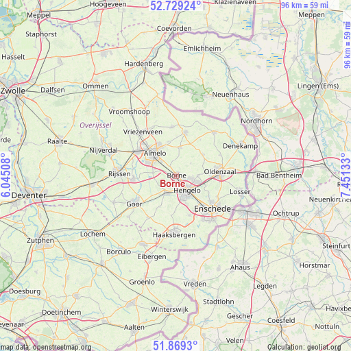
Borne GPS coordinates[2]
52° 18' 4.896" North, 6° 44' 53.52" East
| Map corner | latitude | longitude |
|---|---|---|
| Upper-left | 52.72924°, | 6.04508° |
| Center: | 52.30136°, | 6.7482° |
| Lower-right: | 51.8693°, | 7.45133° |
| Map W x H: | 95.6×95.6 km | = 59.4×59.4mi |
| max Lat: | 53.48025° ⇑33.6% North |
| Borne: | 52.30136° |
| min Lat: | ⇓66.4% South 50.76917° |
| min Long | Borne | max Long |
| 3.38611° | 6.7482° | 7.16528° |
| W 94.6%⇐ | ⇒5.4% E |
Elevation
Elevation of Borne is 18 m = 59 ft, and this is 3 m = 10 ft above average elevation for this country.
| Max E: |
203 m = 666 ft | 25.1% |
| Borne | 18 m 59 ft | |
| Avg. | 15 m = 49 ft | |
Min E: |
-6 m = -20 ft | 74.9% |
See also: Netherlands elevation on elevation.city.
Geographical zone
Borne is located in North temperate zone (between Tropic of Cancer and the Arctic Circle). Distance of this North polar circle is 1585.8 km =985.4 mi to North.| Distance of | km | miles | from Borne |
|---|---|---|---|
| North Pole | 4191.7 | 2604.6 | to North |
| Arctic Circle | 1585.8 | 985.4 | to North |
| Tropic Cancer | 3209.4 | 1994.2 | to South |
| Equator | 5815.4 | 3613.5 | to South |


Nearby cities:
15 places around Borne: (largest is in red/bold)
• Almelo
8.5 km =5.3 mi,  316°
316°
• Bentelo
9.7 km =6 mi,  207°
207°
• Bornerbroek
6.5 km =4 mi,  277°
277°
• Delden
5.2 km =3.2 mi, 208°
• Hengelo
5 km =3.1 mi,  142°
142°
• Klein Driene
5.8 km =3.6 mi,  127°
127°
• Nijrees
6.8 km =4.2 mi,  303°
303°
• Saasveld
5.2 km =3.2 mi,  49°
49°
• Tubbergen
12.1 km =7.5 mi,  11°
11°
• Twekkelerveld
10.9 km =6.8 mi, 135°
• Weerselo
9.3 km =5.8 mi, 52°
• Wiene
9.9 km =6.2 mi,  221°
221°
• Woolde
3.3 km =2.1 mi,  167°
167°
• Zeldam
9.5 km =5.9 mi,  238°
238°
• Zenderen
3 km =1.9 mi,  326°
326°
Sources, notices
• [Note1] Compared only with cities in Netherlands existing in our database
• [Src1] Map data: © OpenStreetMap contributors (CC-BY-SA)
• [Src2] Other city data from geonames.org with taken over terms of usage.
• [Src3] Geographical zone / Annual Mean Temperature by Robert A. Rohde @ Wikipedia
