Boekel geodata
Boekel (North Brabant) is a populated place; located in Netherlands in Europe/Amsterdam (GMT+2) time zone. With population of 5,480 people, there are 442 cities with bigger population in this country. Compared to other cities in Netherlands, 73.8% of cities are located further ↑North; 50.7% of cities are located further ←West and 77.1% of cities have lower elevation than Boekel. Note1


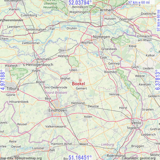
Boekel GPS coordinates[2]
51° 36' 11.988" North, 5° 40' 30" East
| Map corner | latitude | longitude |
|---|---|---|
| Upper-left | 52.03794°, | 4.97188° |
| Center: | 51.60333°, | 5.675° |
| Lower-right: | 51.16451°, | 6.37813° |
| Map W x H: | 97.1×97.1 km | = 60.3×60.3mi |
| max Lat: | 53.48025° ⇑73.8% North |
| Boekel: | 51.60333° |
| min Lat: | ⇓26.2% South 50.76917° |
| min Long | Boekel | max Long |
| 3.38611° | 5.675° | 7.16528° |
| W 50.7%⇐ | ⇒49.3% E |
Elevation
Elevation of Boekel is 19 m = 62 ft, and this is 4 m = 13 ft above average elevation for this country.
| Max E: |
203 m = 666 ft | 22.9% |
| Boekel | 19 m 62 ft | |
| Avg. | 15 m = 49 ft | |
Min E: |
-6 m = -20 ft | 77.1% |
See also: Netherlands elevation on elevation.city.
Geographical zone
Boekel is located in North temperate zone (between Tropic of Cancer and the Arctic Circle). Distance of this North polar circle is 1663.4 km =1033.6 mi to North.| Distance of | km | miles | from Boekel |
|---|---|---|---|
| North Pole | 4269.3 | 2652.8 | to North |
| Arctic Circle | 1663.4 | 1033.6 | to North |
| Tropic Cancer | 3131.8 | 1946 | to South |
| Equator | 5737.8 | 3565.3 | to South |


Nearby cities:
15 places around Boekel: (largest is in red/bold)
• Boerdonk
6 km =3.7 mi,  215°
215°
• De Mortel
7.4 km =4.6 mi,  161°
161°
• Doonheide
4.3 km =2.7 mi, 161°
• Eikenheuvel
5.9 km =3.7 mi,  312°
312°
• Elsendorp
7 km =4.3 mi,  110°
110°
• Erp
4.7 km =2.9 mi,  265°
265°
• Gemert
5.4 km =3.4 mi,  168°
168°
• Handel
3.5 km =2.2 mi,  137°
137°
• Keldonk
6.5 km =4 mi,  253°
253°
• Mariaheide
7.3 km =4.5 mi,  297°
297°
• Melle
7.2 km =4.5 mi,  336°
336°
• Odiliapeel
4.9 km =3 mi,  25°
25°
• Raam
6.8 km =4.2 mi, 336°
• Venhorst
4.4 km =2.7 mi,  82°
82°
• Volkel
4.6 km =2.9 mi, 341°
Sources, notices
• [Note1] Compared only with cities in Netherlands existing in our database
• [Src1] Map data: © OpenStreetMap contributors (CC-BY-SA)
• [Src2] Other city data from geonames.org with taken over terms of usage.
• [Src3] Geographical zone / Annual Mean Temperature by Robert A. Rohde @ Wikipedia
