Venhorst geodata
Venhorst (North Brabant) is a populated place; located in Netherlands in Europe/Amsterdam (GMT+2) time zone. With population of 1,050 people, there are 1363 cities with bigger population in this country. Compared to other cities in Netherlands, 73.5% of cities are located further ↑North; 54.1% of cities are located further ←West and 83.5% of cities have lower elevation than Venhorst. Note1


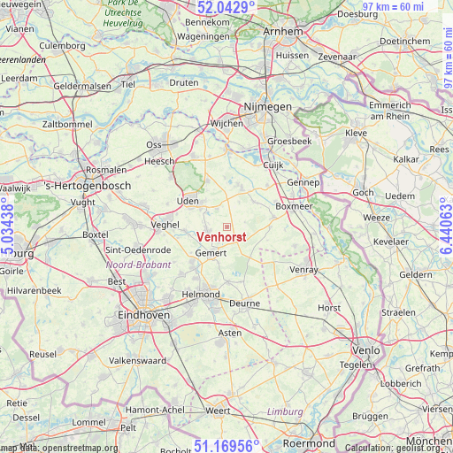
Venhorst GPS coordinates[2]
51° 36' 29.988" North, 5° 44' 15" East
| Map corner | latitude | longitude |
|---|---|---|
| Upper-left | 52.0429°, | 5.03438° |
| Center: | 51.60833°, | 5.7375° |
| Lower-right: | 51.16956°, | 6.44063° |
| Map W x H: | 97.1×97.1 km | = 60.3×60.3mi |
| max Lat: | 53.48025° ⇑73.5% North |
| Venhorst: | 51.60833° |
| min Lat: | ⇓26.5% South 50.76917° |
| min Long | Venhorst | max Long |
| 3.38611° | 5.7375° | 7.16528° |
| W 54.1%⇐ | ⇒45.9% E |
Elevation
Elevation of Venhorst is 25 m = 82 ft, and this is 10 m = 33 ft above average elevation for this country.
| Max E: |
203 m = 666 ft | 16.5% |
| Venhorst | 25 m 82 ft | |
| Avg. | 15 m = 49 ft | |
Min E: |
-6 m = -20 ft | 83.5% |
See also: Netherlands elevation on elevation.city.
Geographical zone
Venhorst is located in North temperate zone (between Tropic of Cancer and the Arctic Circle). Distance of this North polar circle is 1662.9 km =1033.3 mi to North.| Distance of | km | miles | from Venhorst |
|---|---|---|---|
| North Pole | 4268.8 | 2652.5 | to North |
| Arctic Circle | 1662.9 | 1033.3 | to North |
| Tropic Cancer | 3132.4 | 1946.4 | to South |
| Equator | 5738.3 | 3565.6 | to South |


Nearby cities:
15 places around Venhorst: (largest is in red/bold)
• Boekel
4.4 km =2.7 mi,  262°
262°
• De Mortel
7.9 km =4.9 mi,  194°
194°
• De Rips
8.2 km =5.1 mi,  142°
142°
• Doonheide
5.5 km =3.4 mi,  212°
212°
• Elsendorp
3.8 km =2.4 mi, 144°
• Erp
9.1 km =5.7 mi, 264°
• Gemert
6.7 km =4.2 mi, 209°
• Handel
3.7 km =2.3 mi, 211°
• Odiliapeel
4.5 km =2.8 mi,  330°
330°
• Oploo
9.4 km =5.8 mi,  90°
90°
• Raam
9 km =5.6 mi,  309°
309°
• Sint Hubert
9.2 km =5.7 mi,  32°
32°
• Volkel
6.9 km =4.3 mi,  303°
303°
• Wanroij
7.8 km =4.8 mi,  45°
45°
• Wilbertoord
5.9 km =3.7 mi, 26°
Sources, notices
• [Note1] Compared only with cities in Netherlands existing in our database
• [Src1] Map data: © OpenStreetMap contributors (CC-BY-SA)
• [Src2] Other city data from geonames.org with taken over terms of usage.
• [Src3] Geographical zone / Annual Mean Temperature by Robert A. Rohde @ Wikipedia
