Angerlo geodata
Angerlo (Gelderland) is a populated place; located in Netherlands in Europe/Amsterdam (GMT+2) time zone. With population of 1,130 people, there are 1314 cities with bigger population in this country. Compared to other cities in Netherlands, 51.3% of cities are located further ↑North; 80.8% of cities are located further ←West and 64.6% of cities have lower elevation than Angerlo. Note1


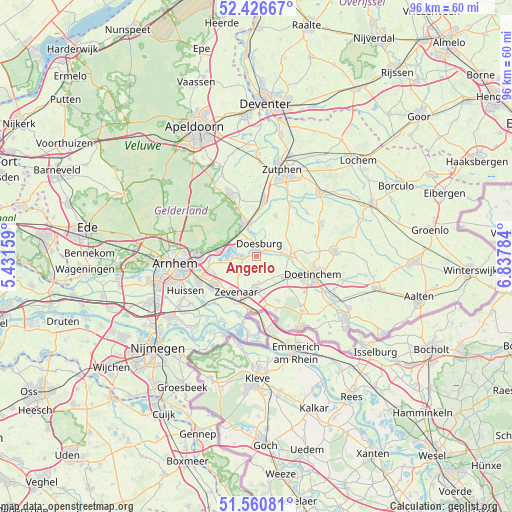
Angerlo GPS coordinates[2]
51° 59' 44.988" North, 6° 8' 4.992" East
| Map corner | latitude | longitude |
|---|---|---|
| Upper-left | 52.42667°, | 5.43159° |
| Center: | 51.99583°, | 6.13472° |
| Lower-right: | 51.56081°, | 6.83784° |
| Map W x H: | 96.3×96.3 km | = 59.8×59.8mi |
| max Lat: | 53.48025° ⇑51.3% North |
| Angerlo: | 51.99583° |
| min Lat: | ⇓48.7% South 50.76917° |
| min Long | Angerlo | max Long |
| 3.38611° | 6.13472° | 7.16528° |
| W 80.8%⇐ | ⇒19.2% E |
Elevation
Elevation of Angerlo is 12 m = 39 ft, and this is 3 m = 10 ft below average elevation for this country.
| Max E: |
203 m = 666 ft | 35.4% |
| Avg. | 15 m = 49 ft | |
| Angerlo | 12 m = 39 ft | |
Min E: |
-6 m = -20 ft | 64.6% |
See also: Netherlands elevation on elevation.city.
Geographical zone
Angerlo is located in North temperate zone (between Tropic of Cancer and the Arctic Circle). Distance of this North polar circle is 1619.8 km =1006.5 mi to North.| Distance of | km | miles | from Angerlo |
|---|---|---|---|
| North Pole | 4225.7 | 2625.7 | to North |
| Arctic Circle | 1619.8 | 1006.5 | to North |
| Tropic Cancer | 3175.5 | 1973.2 | to South |
| Equator | 5781.4 | 3592.4 | to South |


Nearby cities:
15 places around Angerlo: (largest is in red/bold)
• De Steeg
5.7 km =3.5 mi,  298°
298°
• Dieren
6.7 km =4.2 mi,  339°
339°
• Doesburg
1.9 km =1.2 mi,  8°
8°
• Drempt
3 km =1.9 mi,  64°
64°
• Ellecom
5.2 km =3.2 mi,  321°
321°
• Giesbeek
4.7 km =2.9 mi,  266°
266°
• Hummelo
6.8 km =4.2 mi,  82°
82°
• Lathum
8 km =5 mi,  262°
262°
• Loil
4.7 km =2.9 mi,  174°
174°
• Nieuw-Dijk
7.1 km =4.4 mi, 168°
• Rheden
7.3 km =4.5 mi,  278°
278°
• Spankeren
7.1 km =4.4 mi,  347°
347°
• Steenderen
8.4 km =5.2 mi,  25°
25°
• Stegeslag
7.8 km =4.8 mi,  219°
219°
• Zevenaar
8.5 km =5.3 mi,  210°
210°
Sources, notices
• [Note1] Compared only with cities in Netherlands existing in our database
• [Src1] Map data: © OpenStreetMap contributors (CC-BY-SA)
• [Src2] Other city data from geonames.org with taken over terms of usage.
• [Src3] Geographical zone / Annual Mean Temperature by Robert A. Rohde @ Wikipedia
