Drempt geodata
Drempt (Gelderland) is a populated place; located in Netherlands in Europe/Amsterdam (GMT+2) time zone. With population of 965 people, there are 1430 cities with bigger population in this country. Compared to other cities in Netherlands, 50.4% of cities are located further ↑North; 82.6% of cities are located further ←West and 62% of cities have lower elevation than Drempt. Note1


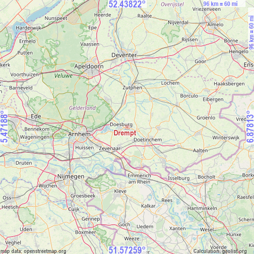
Drempt GPS coordinates[2]
52° 0' 27" North, 6° 10' 30" East
| Map corner | latitude | longitude |
|---|---|---|
| Upper-left | 52.43822°, | 5.47188° |
| Center: | 52.0075°, | 6.175° |
| Lower-right: | 51.57259°, | 6.87813° |
| Map W x H: | 96.2×96.2 km | = 59.8×59.8mi |
| max Lat: | 53.48025° ⇑50.4% North |
| Drempt: | 52.0075° |
| min Lat: | ⇓49.6% South 50.76917° |
| min Long | Drempt | max Long |
| 3.38611° | 6.175° | 7.16528° |
| W 82.6%⇐ | ⇒17.4% E |
Elevation
Elevation of Drempt is 11 m = 36 ft, and this is 4 m = 13 ft below average elevation for this country.
| Max E: |
203 m = 666 ft | 38% |
| Avg. | 15 m = 49 ft | |
| Drempt | 11 m = 36 ft | |
Min E: |
-6 m = -20 ft | 62% |
See also: Netherlands elevation on elevation.city.
Geographical zone
Drempt is located in North temperate zone (between Tropic of Cancer and the Arctic Circle). Distance of this North polar circle is 1618.5 km =1005.7 mi to North.| Distance of | km | miles | from Drempt |
|---|---|---|---|
| North Pole | 4224.4 | 2624.9 | to North |
| Arctic Circle | 1618.5 | 1005.7 | to North |
| Tropic Cancer | 3176.8 | 1974 | to South |
| Equator | 5782.7 | 3593.2 | to South |


Nearby cities:
15 places around Drempt: (largest is in red/bold)
• Angerlo
3 km =1.9 mi,  244°
244°
• Baak
8.6 km =5.3 mi,  24°
24°
• De Steeg
7.9 km =4.9 mi,  280°
280°
• Dieren
7.2 km =4.5 mi,  314°
314°
• Doesburg
2.5 km =1.6 mi, 282°
• Doetinchem
9.1 km =5.7 mi,  121°
121°
• Ellecom
6.6 km =4.1 mi,  294°
294°
• Giesbeek
7.6 km =4.7 mi,  258°
258°
• Hummelo
4 km =2.5 mi,  95°
95°
• Keijenborg
8.5 km =5.3 mi,  73°
73°
• Kilder
8.7 km =5.4 mi,  153°
153°
• Loil
6.4 km =4 mi,  200°
200°
• Nieuw-Dijk
8.4 km =5.2 mi,  189°
189°
• Spankeren
7.1 km =4.4 mi,  322°
322°
• Steenderen
6.4 km =4 mi,  7°
7°
Sources, notices
• [Note1] Compared only with cities in Netherlands existing in our database
• [Src1] Map data: © OpenStreetMap contributors (CC-BY-SA)
• [Src2] Other city data from geonames.org with taken over terms of usage.
• [Src3] Geographical zone / Annual Mean Temperature by Robert A. Rohde @ Wikipedia
