Kjøllefjord geodata
Kjøllefjord (Finnmark) is a seat of a second-order administrative division; located in Norway in Europe/Oslo (GMT+2) time zone. With population of 975 people, there are 317 cities with bigger population in this country. Compared to other cities in Norway, 99.5% of cities are located further ↓South; 98.6% of cities are located further ←West and 52.7% of cities have higher elevation than Kjøllefjord. Note1


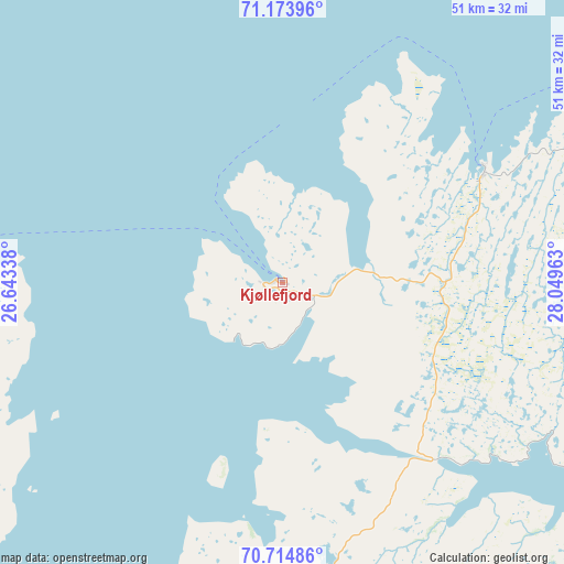
Kjøllefjord GPS coordinates[2]
70° 56' 44.664" North, 27° 20' 47.4" East
| Map corner | latitude | longitude |
|---|---|---|
| Upper-left | 71.17396°, | 26.64338° |
| Center: | 70.94574°, | 27.3465° |
| Lower-right: | 70.71486°, | 28.04963° |
| Map W x H: | 51×51 km | = 31.7×31.7mi |
| max Lat: | 71.04137° ⇑0.5% North |
| Kjøllefjord: | 70.94574° |
| min Lat: | ⇓99.5% South 58.0274° |
| min Long | Kjøllefjord | max Long |
| 4.71485° | 27.3465° | 31.11066° |
| W 98.6%⇐ | ⇒1.4% E |
Elevation
Elevation of Kjøllefjord is 40 m = 131 ft, and this is 64.2 m = 211 ft below average elevation for this country.
| Max E: |
897 m = 2943 ft | 52.7% |
| Avg. | 104.2 m = 342 ft | |
| Kjøllefjord | 40 m = 131 ft | |
Min E: |
1 m = 3 ft | 47.3% |
See also: Norway elevation on elevation.city.
Geographical zone
Kjøllefjord is located in North Frigid zone (between North Pole and Arctic Circle). Distance of this North polar circle is 487.3 km =302.8 mi to South.| Distance of | km | miles | from Kjøllefjord |
|---|---|---|---|
| North Pole | 2118.6 | 1316.4 | to North |
| Arctic Circle | 487.3 | 302.8 | to South |
| Tropic Cancer | 5282.5 | 3282.4 | to South |
| Equator | 7888.4 | 4901.6 | to South |


Nearby cities:
15 places around Kjøllefjord: (largest is in red/bold)
• Berlevåg
64 km =39.8 mi,  98°
98°
• Bjørnevatn
173.1 km =107.6 mi,  145°
145°
• Båtsfjord
93.4 km =58 mi,  111°
111°
• Hammerfest
137.6 km =85.5 mi,  256°
256°
• Honningsvåg
50.1 km =31.1 mi,  274°
274°
• Kirkenes
169 km =105 mi,  143°
143°
• Kvalsund
133 km =82.6 mi,  248°
248°
• Lakselv
132.9 km =82.6 mi,  221°
221°
• Mehamn
21.1 km =13.1 mi,  59°
59°
• Rypefjord
138.6 km =86.1 mi, 255°
• Tana bru
88.7 km =55.1 mi,  159°
159°
• Vadsø
131.7 km =81.8 mi, 137°
• Vardø
152.6 km =94.8 mi, 114°
• Vuonnabahta
96.9 km =60.2 mi, 152°
• Ávanuorri
97.5 km =60.6 mi, 273°
Sources, notices
• [Note1] Compared only with cities in Norway existing in our database
• [Src1] Map data: © OpenStreetMap contributors (CC-BY-SA)
• [Src2] Other city data from geonames.org with taken over terms of usage.
• [Src3] Geographical zone / Annual Mean Temperature by Robert A. Rohde @ Wikipedia
