Kawerau geodata
Kawerau (Bay of Plenty) is a populated place; located in New Zealand in Pacific/Auckland (GMT+13) time zone. With population of 6,702 people, there are 49 cities with bigger population in this country. Compared to other cities in New Zealand, 63.3% of cities are located further ↓South; 92.3% of cities are located further ←West and 58.9% of cities have lower elevation than Kawerau. Note1


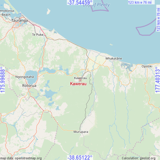
Kawerau GPS coordinates[2]
38° 6' 0" South, 176° 42' 0" East
| Map corner | latitude | longitude |
|---|---|---|
| Upper-left | -37.54459°, | 175.99688° |
| Center: | -38.1°, | 176.7° |
| Lower-right: | -38.65122°, | 177.40313° |
| Map W x H: | 123×123 km | = 76.4×76.4mi |
| max Lat: | -34.99604° ⇑36.7% North |
| Kawerau: | -38.1° |
| min Lat: | ⇓63.3% South -46.6° |
| min Long | Kawerau | max Long |
| -176.55973° | 176.7° | 178.33333° |
| W 92.3%⇐ | ⇒7.7% E |
Elevation
Elevation of Kawerau is 46 m = 151 ft, and this is 38.4 m = 126 ft below average elevation for this country.
| Max E: |
819 m = 2687 ft | 41.1% |
| Avg. | 84.4 m = 277 ft | |
| Kawerau | 46 m = 151 ft | |
Min E: |
3 m = 10 ft | 58.9% |
See also: New Zealand elevation on elevation.city.
Geographical zone
Kawerau is located in South temperate zone (between Tropic of Capricorn and the Antarctic Circle). Distance of this Southern Tropic circle is 1630.4 km =1013.1 mi to North.| Distance of | km | miles | from Kawerau |
|---|---|---|---|
| Equator | 4236.3 | 2632.3 | to North |
| Tropic Capricorn | 1630.4 | 1013.1 | to North |
| Antarctic Circle | 3164.9 | 1966.6 | to South |
| South Pole | 5770.7 | 3585.7 | to South |


Nearby cities:
15 places around Kawerau: (largest is in red/bold)
• Edgecumbe
17.5 km =10.9 mi,  41°
41°
• Maketu
43.1 km =26.8 mi,  329°
329°
• Mamaku
54 km =33.6 mi,  270°
270°
• Matata
24.5 km =15.2 mi,  10°
10°
• Murupara
40.8 km =25.4 mi,  180°
180°
• Opotiki
52.4 km =32.6 mi,  78°
78°
• Paengaroa
40.1 km =24.9 mi,  321°
321°
• Reporoa
48.7 km =30.3 mi,  219°
219°
• Rotorua
40 km =24.9 mi,  263°
263°
• Taneatua
28 km =17.4 mi, 82°
• Taupo
84.2 km =52.3 mi, 219°
• Tauranga
65.6 km =40.8 mi,  314°
314°
• Tokoroa
74.3 km =46.2 mi, 258°
• Waimana
34 km =21.1 mi,  99°
99°
• Whakatane
29.5 km =18.3 mi,  57°
57°
Sources, notices
• [Note1] Compared only with cities in New Zealand existing in our database
• [Src1] Map data: © OpenStreetMap contributors (CC-BY-SA)
• [Src2] Other city data from geonames.org with taken over terms of usage.
• [Src3] Geographical zone / Annual Mean Temperature by Robert A. Rohde @ Wikipedia
