Tauranga geodata
Tauranga (Bay of Plenty) is a seat of a second-order administrative division; located in New Zealand in Pacific/Auckland (GMT+12) time zone. With population of 110,338 people, there are 8 cities with bigger population in this country. Compared to other cities in New Zealand, 71.5% of cities are located further ↓South; 88.4% of cities are located further ←West and 67.6% of cities have higher elevation than Tauranga. Note1


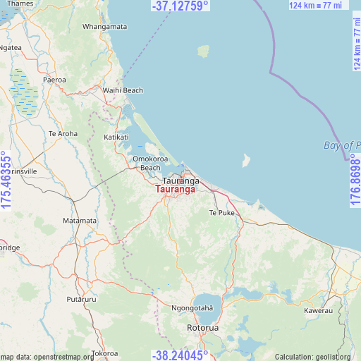
Tauranga GPS coordinates[2]
37° 41' 9.996" South, 176° 10' 0.012" East
| Map corner | latitude | longitude |
|---|---|---|
| Upper-left | -37.12759°, | 175.46355° |
| Center: | -37.68611°, | 176.16667° |
| Lower-right: | -38.24045°, | 176.8698° |
| Map W x H: | 123.7×123.7 km | = 76.9×76.9mi |
| max Lat: | -34.99604° ⇑28.5% North |
| Tauranga: | -37.68611° |
| min Lat: | ⇓71.5% South -46.6° |
| min Long | Tauranga | max Long |
| -176.55973° | 176.16667° | 178.33333° |
| W 88.4%⇐ | ⇒11.6% E |
Elevation
Elevation of Tauranga is 18 m = 59 ft, and this is 66.4 m = 218 ft below average elevation for this country.
| Max E: |
819 m = 2687 ft | 67.6% |
| Avg. | 84.4 m = 277 ft | |
| Tauranga | 18 m = 59 ft | |
Min E: |
3 m = 10 ft | 32.4% |
See also: Tauranga elevation on elevation.city.
Geographical zone
Tauranga is located in South temperate zone (between Tropic of Capricorn and the Antarctic Circle). Distance of this Southern Tropic circle is 1584.4 km =984.5 mi to North.| Distance of | km | miles | from Tauranga |
|---|---|---|---|
| Equator | 4190.3 | 2603.7 | to North |
| Tropic Capricorn | 1584.4 | 984.5 | to North |
| Antarctic Circle | 3210.9 | 1995.2 | to South |
| South Pole | 5816.8 | 3614.4 | to South |


Nearby cities:
15 places around Tauranga: (largest is in red/bold)
• Athenree
32.9 km =20.4 mi,  317°
317°
• Katikati
26.7 km =16.6 mi,  304°
304°
• Kawerau
65.6 km =40.8 mi,  134°
134°
• Maketu
26.5 km =16.5 mi,  109°
109°
• Mamaku
46.6 km =29 mi,  189°
189°
• Matamata
38.1 km =23.7 mi,  248°
248°
• Matata
55.8 km =34.7 mi, 113°
• Paengaroa
26.3 km =16.3 mi,  123°
123°
• Paeroa
56.6 km =35.2 mi,  308°
308°
• Rotorua
50.8 km =31.6 mi,  172°
172°
• Tirau
49.3 km =30.6 mi,  227°
227°
• Waharoa
36.3 km =22.6 mi,  255°
255°
• Waihi
44.7 km =27.8 mi, 318°
• Waihi Beach
37.9 km =23.5 mi,  327°
327°
• Whangamata
60.2 km =37.4 mi, 333°
Sources, notices
• [Note1] Compared only with cities in New Zealand existing in our database
• [Src1] Map data: © OpenStreetMap contributors (CC-BY-SA)
• [Src2] Other city data from geonames.org with taken over terms of usage.
• [Src3] Geographical zone / Annual Mean Temperature by Robert A. Rohde @ Wikipedia
