Tebujo geodata
Tebujo (Ngöbe-Buglé) is a populated place; located in Panama in America/Panama (GMT-5) time zone. With population of 552 people, there are 441 cities with bigger population in this country. Compared to other cities in Panama, 58.7% of cities are located further ↑North; 73.6% of cities are located further →East and 90.7% of cities have lower elevation than Tebujo. Note1


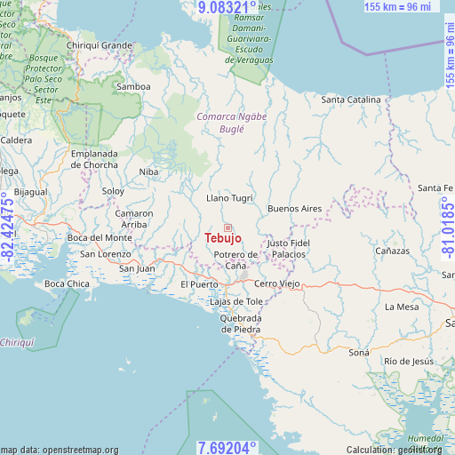
Tebujo GPS coordinates[2]
8° 23' 17.7" North, 81° 43' 17.832" West
| Map corner | latitude | longitude |
|---|---|---|
| Upper-left | 9.08321°, | -82.42475° |
| Center: | 8.38825°, | -81.72162° |
| Lower-right: | 7.69204°, | -81.0185° |
| Map W x H: | 154.7×154.7 km | = 96.1×96.1mi |
| max Lat: | 9.60898° ⇑58.7% North |
| Tebujo: | 8.38825° |
| min Lat: | ⇓41.3% South 7.26534° |
| min Long | Tebujo | max Long |
| -82.91275° | -81.72162° | -77.38965° |
| W 26.4%⇐ | ⇒73.6% E |
Elevation
Elevation of Tebujo is 449 m = 1473 ft, and this is 276.9 m = 908 ft above average elevation for this country.
| Max E: |
2103 m = 6900 ft | 9.3% |
| Tebujo | 449 m 1473 ft | |
| Avg. | 172.1 m = 565 ft | |
Min E: |
-1 m = -3 ft | 90.7% |
See also: Panama elevation on elevation.city.
Geographical zone
Tebujo is located in North Torrid zone (between Equator and Tropic of Cancer). Distance of Equator is 932.7 km =579.6 mi to South.| Distance of | km | miles | from Tebujo |
|---|---|---|---|
| North Pole | 9074.4 | 5638.6 | to North |
| Arctic Circle | 6468.5 | 4019.3 | to North |
| Tropic Cancer | 1673.2 | 1039.7 | to North |
| Equator | 932.7 | 579.6 | to South |


Nearby cities:
15 places around Tebujo: (largest is in red/bold)
• Buabidi
9.9 km =6.2 mi,  14°
14°
• Cabecera de Cerro Puerco
8.8 km =5.5 mi,  208°
208°
• Cerro Ceniza
7 km =4.3 mi,  224°
224°
• Cerro Mosquito
5.7 km =3.5 mi,  141°
141°
• Chichica
6.5 km =4 mi,  111°
111°
• Chichica
7 km =4.3 mi,  118°
118°
• Hato Chami
8.2 km =5.1 mi,  317°
317°
• Llano Junco
5.3 km =3.3 mi, 222°
• Llano Ñopo
11.9 km =7.4 mi,  72°
72°
• Maraca
1.8 km =1.1 mi,  200°
200°
• Oma
9.8 km =6.1 mi,  244°
244°
• Peña Blanca
9.4 km =5.8 mi,  29°
29°
• Peña Prieta
2 km =1.2 mi,  165°
165°
• Potrero de Caña
10.8 km =6.7 mi, 166°
• Quebrada Canoa
8.4 km =5.2 mi,  306°
306°
Sources, notices
• [Note1] Compared only with cities in Panama existing in our database
• [Src1] Map data: © OpenStreetMap contributors (CC-BY-SA)
• [Src2] Other city data from geonames.org with taken over terms of usage.
• [Src3] Geographical zone / Annual Mean Temperature by Robert A. Rohde @ Wikipedia
