Chame geodata
Chame (Panamá Oeste) is a seat of a second-order administrative division; located in Panama in America/Panama (GMT-5) time zone. With population of 2,362 people, there are 106 cities with bigger population in this country. Compared to other cities in Panama, 62.2% of cities are located further ↓South; 76.6% of cities are located further ←West and 67.4% of cities have higher elevation than Chame. Note1


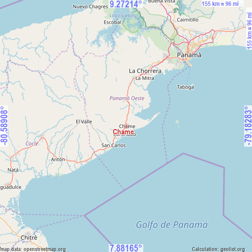
Chame GPS coordinates[2]
8° 34' 39.108" North, 79° 53' 9.42" West
| Map corner | latitude | longitude |
|---|---|---|
| Upper-left | 9.27214°, | -80.58908° |
| Center: | 8.57753°, | -79.88595° |
| Lower-right: | 7.88165°, | -79.18283° |
| Map W x H: | 154.6×154.6 km | = 96.1×96.1mi |
| max Lat: | 9.60898° ⇑37.8% North |
| Chame: | 8.57753° |
| min Lat: | ⇓62.2% South 7.26534° |
| min Long | Chame | max Long |
| -82.91275° | -79.88595° | -77.38965° |
| W 76.6%⇐ | ⇒23.4% E |
Elevation
Elevation of Chame is 39 m = 128 ft, and this is 133.1 m = 437 ft below average elevation for this country.
| Max E: |
2103 m = 6900 ft | 67.4% |
| Avg. | 172.1 m = 565 ft | |
| Chame | 39 m = 128 ft | |
Min E: |
-1 m = -3 ft | 32.6% |
See also: Panama elevation on elevation.city.
Geographical zone
Chame is located in North Torrid zone (between Equator and Tropic of Cancer). Distance of Equator is 953.7 km =592.6 mi to South.| Distance of | km | miles | from Chame |
|---|---|---|---|
| North Pole | 9053.3 | 5625.5 | to North |
| Arctic Circle | 6447.4 | 4006.2 | to North |
| Tropic Cancer | 1652.2 | 1026.6 | to North |
| Equator | 953.7 | 592.6 | to South |


Nearby cities:
15 places around Chame: (largest is in red/bold)
• Bejuco
2.6 km =1.6 mi,  350°
350°
• Buenos Aires
9.1 km =5.7 mi,  311°
311°
• Cabuya
4.5 km =2.8 mi,  266°
266°
• Cerro Campana
14.7 km =9.1 mi, 348°
• Coloncito
2.2 km =1.4 mi,  222°
222°
• El Espavé
9.4 km =5.8 mi,  6°
6°
• El Líbano
7.1 km =4.4 mi,  52°
52°
• Guayabito
14.4 km =8.9 mi,  256°
256°
• La Cresta
6.9 km =4.3 mi,  3°
3°
• Las Lajas
6.2 km =3.9 mi,  240°
240°
• Llano Grande
7.5 km =4.7 mi,  318°
318°
• Nueva Gorgona
3.3 km =2.1 mi,  159°
159°
• Sajalices
11.8 km =7.3 mi, 9°
• San Carlos
14.2 km =8.8 mi, 215°
• San José
7 km =4.3 mi, 224°
Sources, notices
• [Note1] Compared only with cities in Panama existing in our database
• [Src1] Map data: © OpenStreetMap contributors (CC-BY-SA)
• [Src2] Other city data from geonames.org with taken over terms of usage.
• [Src3] Geographical zone / Annual Mean Temperature by Robert A. Rohde @ Wikipedia
