Howard geodata
Howard (Panamá) is a populated place; located in Panama in America/Panama (GMT-5) time zone. With population of 1,222 people, there are 198 cities with bigger population in this country. Compared to other cities in Panama, 81% of cities are located further ↓South; 85.5% of cities are located further ←West and 84.5% of cities have higher elevation than Howard. Note1


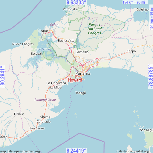
Howard GPS coordinates[2]
8° 56' 21.912" North, 79° 35' 27.492" West
| Map corner | latitude | longitude |
|---|---|---|
| Upper-left | 9.63333°, | -80.2941° |
| Center: | 8.93942°, | -79.59097° |
| Lower-right: | 8.24419°, | -78.88785° |
| Map W x H: | 154.5×154.5 km | = 96×96mi |
| max Lat: | 9.60898° ⇑19% North |
| Howard: | 8.93942° |
| min Lat: | ⇓81% South 7.26534° |
| min Long | Howard | max Long |
| -82.91275° | -79.59097° | -77.38965° |
| W 85.5%⇐ | ⇒14.5% E |
Elevation
Elevation of Howard is 18 m = 59 ft, and this is 154.1 m = 506 ft below average elevation for this country.
| Max E: |
2103 m = 6900 ft | 84.5% |
| Avg. | 172.1 m = 565 ft | |
| Howard | 18 m = 59 ft | |
Min E: |
-1 m = -3 ft | 15.5% |
See also: Panama elevation on elevation.city.
Geographical zone
Howard is located in North Torrid zone (between Equator and Tropic of Cancer). Distance of Equator is 994 km =617.6 mi to South.| Distance of | km | miles | from Howard |
|---|---|---|---|
| North Pole | 9013.1 | 5600.5 | to North |
| Arctic Circle | 6407.2 | 3981.2 | to North |
| Tropic Cancer | 1611.9 | 1001.6 | to North |
| Equator | 994 | 617.6 | to South |


Nearby cities:
15 places around Howard: (largest is in red/bold)
• Ancón
4.9 km =3 mi,  62°
62°
• Arraiján
7.7 km =4.8 mi,  280°
280°
• Balboa
2.8 km =1.7 mi,  69°
69°
• Cerro El Castillo
9.9 km =6.2 mi, 284°
• Curundú
6 km =3.7 mi,  54°
54°
• El Chorrillo
4.9 km =3 mi,  76°
76°
• Monte Claro
8.6 km =5.3 mi,  262°
262°
• Panamá
9.9 km =6.2 mi, 52°
• Paraíso
11.2 km =7 mi,  338°
338°
• Río Abajo
13.2 km =8.2 mi, 49°
• Río Potrero
12.3 km =7.6 mi, 281°
• San Felipe
6 km =3.7 mi, 77°
• San Vicente de Bique
9.6 km =6 mi,  251°
251°
• Veracruz
6.7 km =4.2 mi,  214°
214°
• Vista Alegre
12.4 km =7.7 mi, 263°
Sources, notices
• [Note1] Compared only with cities in Panama existing in our database
• [Src1] Map data: © OpenStreetMap contributors (CC-BY-SA)
• [Src2] Other city data from geonames.org with taken over terms of usage.
• [Src3] Geographical zone / Annual Mean Temperature by Robert A. Rohde @ Wikipedia
