Curundú geodata
Curundú (Panamá) is a populated place; located in Panama in America/Panama (GMT-5) time zone. With population of 16,361 people, there are 24 cities with bigger population in this country. Compared to other cities in Panama, 82.9% of cities are located further ↓South; 86.6% of cities are located further ←West and 95% of cities have higher elevation than Curundú. Note1


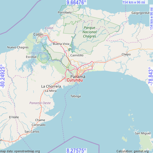
Curundú GPS coordinates[2]
8° 58' 15.312" North, 79° 32' 46.032" West
| Map corner | latitude | longitude |
|---|---|---|
| Upper-left | 9.66476°, | -80.24925° |
| Center: | 8.97092°, | -79.54612° |
| Lower-right: | 8.27575°, | -78.843° |
| Map W x H: | 154.4×154.4 km | = 95.9×95.9mi |
| max Lat: | 9.60898° ⇑17.1% North |
| Curundú: | 8.97092° |
| min Lat: | ⇓82.9% South 7.26534° |
| min Long | Curundú | max Long |
| -82.91275° | -79.54612° | -77.38965° |
| W 86.6%⇐ | ⇒13.4% E |
Elevation
Elevation of Curundú is 7 m = 23 ft, and this is 165.1 m = 542 ft below average elevation for this country.
| Max E: |
2103 m = 6900 ft | 95% |
| Avg. | 172.1 m = 565 ft | |
| Curundú | 7 m = 23 ft | |
Min E: |
-1 m = -3 ft | 5% |
See also: Panama elevation on elevation.city.
Geographical zone
Curundú is located in North Torrid zone (between Equator and Tropic of Cancer). Distance of Equator is 997.5 km =619.8 mi to South.| Distance of | km | miles | from Curundú |
|---|---|---|---|
| North Pole | 9009.6 | 5598.3 | to North |
| Arctic Circle | 6403.7 | 3979.1 | to North |
| Tropic Cancer | 1608.4 | 999.4 | to North |
| Equator | 997.5 | 619.8 | to South |


Nearby cities:
15 places around Curundú: (largest is in red/bold)
• Ancón
1.3 km =0.8 mi,  205°
205°
• Arraiján
12.7 km =7.9 mi,  260°
260°
• Balboa
3.4 km =2.1 mi,  221°
221°
• El Chorrillo
2.4 km =1.5 mi,  182°
182°
• Howard
6 km =3.7 mi,  234°
234°
• Juan Díaz
13.7 km =8.5 mi,  50°
50°
• Las Cumbres
13.3 km =8.3 mi,  8°
8°
• Mocambo Arriba
11.7 km =7.3 mi,  348°
348°
• Panamá
3.8 km =2.4 mi, 48°
• Paraíso
11.3 km =7 mi,  307°
307°
• Parque Lefevre
8.6 km =5.3 mi, 53°
• Río Abajo
7.2 km =4.5 mi,  44°
44°
• San Felipe
2.4 km =1.5 mi,  156°
156°
• San Miguelito
12.1 km =7.5 mi, 43°
• Veracruz
12.6 km =7.8 mi, 224°
Sources, notices
• [Note1] Compared only with cities in Panama existing in our database
• [Src1] Map data: © OpenStreetMap contributors (CC-BY-SA)
• [Src2] Other city data from geonames.org with taken over terms of usage.
• [Src3] Geographical zone / Annual Mean Temperature by Robert A. Rohde @ Wikipedia
