Sacanche geodata
Sacanche (San Martín) is a seat of a third-order administrative division; located in Peru in America/Lima (GMT-5) time zone. In our database, there are 305 cities with bigger population. Compared to other cities in Peru, 78.8% of cities are located further ↓South; 62.7% of cities are located further →East and 81.7% of cities have higher elevation than Sacanche. Note1


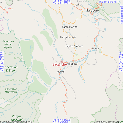
Sacanche GPS coordinates[2]
7° 4' 9.66" South, 76° 42' 53.424" West
| Map corner | latitude | longitude |
|---|---|---|
| Upper-left | -6.37106°, | -77.41797° |
| Center: | -7.06935°, | -76.71484° |
| Lower-right: | -7.76659°, | -76.01172° |
| Map W x H: | 155.2×155.2 km | = 96.4×96.4mi |
| max Lat: | -0.96667° ⇑21.2% North |
| Sacanche: | -7.06935° |
| min Lat: | ⇓78.8% South -18.01465° |
| min Long | Sacanche | max Long |
| -81.30472° | -76.71484° | -69.04167° |
| W 37.3%⇐ | ⇒62.7% E |
Elevation
Elevation of Sacanche is 275 m = 902 ft, and this is 2043.7 m = 6705 ft below average elevation for this country.
| Max E: |
5022 m = 16476 ft | 81.7% |
| Avg. | 2318.7 m = 7607 ft | |
| Sacanche | 275 m = 902 ft | |
Min E: |
1 m = 3 ft | 18.3% |
See also: Peru elevation on elevation.city.
Geographical zone
Sacanche is located in South Torrid zone (between Equator and Tropic of Capricorn). Distance of Equator is 786 km =488.4 mi to North.| Distance of | km | miles | from Sacanche |
|---|---|---|---|
| Equator | 786 | 488.4 | to North |
| Tropic Capricorn | 1819.9 | 1130.8 | to South |
| Antarctic Circle | 6615.1 | 4110.4 | to South |
| South Pole | 9221 | 5729.7 | to South |


Nearby cities:
15 places around Sacanche: (largest is in red/bold)
• Agua Blanca
38.5 km =23.9 mi,  3°
3°
• Bellavista
13.7 km =8.5 mi,  83°
83°
• Caspisapa
35.1 km =21.8 mi,  69°
69°
• Huicungo
28.5 km =17.7 mi,  193°
193°
• Juanjuí
12.1 km =7.5 mi, 186°
• Ledoy
9.7 km =6 mi,  132°
132°
• Pajarillo
12.9 km =8 mi,  169°
169°
• Picota
45.4 km =28.2 mi, 68°
• Piscoyacu
11.6 km =7.2 mi,  329°
329°
• Pucacaca
47.8 km =29.7 mi,  59°
59°
• Puerto Rico
33.7 km =20.9 mi, 75°
• San Pablo
31.8 km =19.8 mi,  28°
28°
• San Rafael
26.8 km =16.7 mi, 80°
• Santa Rosa
44.3 km =27.5 mi,  14°
14°
• Saposoa
16.3 km =10.1 mi,  337°
337°
Sources, notices
• [Note1] Compared only with cities in Peru existing in our database
• [Src1] Map data: © OpenStreetMap contributors (CC-BY-SA)
• [Src2] Other city data from geonames.org with taken over terms of usage.
• [Src3] Geographical zone / Annual Mean Temperature by Robert A. Rohde @ Wikipedia
