Saposoa geodata
Saposoa (San Martín) is a seat of a third-order administrative division; located in Peru in America/Lima (GMT-5) time zone. With population of 14,894 people, there are 108 cities with bigger population in this country. Compared to other cities in Peru, 80% of cities are located further ↓South; 63.9% of cities are located further →East and 80.6% of cities have higher elevation than Saposoa. Note1


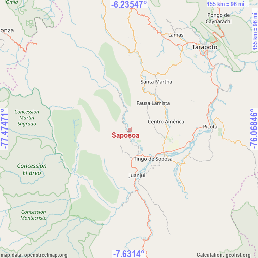
Saposoa GPS coordinates[2]
6° 56' 2.22" South, 76° 46' 17.688" West
| Map corner | latitude | longitude |
|---|---|---|
| Upper-left | -6.23547°, | -77.47471° |
| Center: | -6.93395°, | -76.77158° |
| Lower-right: | -7.6314°, | -76.06846° |
| Map W x H: | 155.2×155.2 km | = 96.4×96.4mi |
| max Lat: | -0.96667° ⇑20% North |
| Saposoa: | -6.93395° |
| min Lat: | ⇓80% South -18.01465° |
| min Long | Saposoa | max Long |
| -81.30472° | -76.77158° | -69.04167° |
| W 36.1%⇐ | ⇒63.9% E |
Elevation
Elevation of Saposoa is 311 m = 1020 ft, and this is 2007.7 m = 6587 ft below average elevation for this country.
| Max E: |
5022 m = 16476 ft | 80.6% |
| Avg. | 2318.7 m = 7607 ft | |
| Saposoa | 311 m = 1020 ft | |
Min E: |
1 m = 3 ft | 19.4% |
See also: Peru elevation on elevation.city.
Geographical zone
Saposoa is located in South Torrid zone (between Equator and Tropic of Capricorn). Distance of Equator is 771 km =479.1 mi to North.| Distance of | km | miles | from Saposoa |
|---|---|---|---|
| Equator | 771 | 479.1 | to North |
| Tropic Capricorn | 1834.9 | 1140.2 | to South |
| Antarctic Circle | 6630.2 | 4119.8 | to South |
| South Pole | 9236.1 | 5739 | to South |


Nearby cities:
15 places around Saposoa: (largest is in red/bold)
• Agua Blanca
24.8 km =15.4 mi,  19°
19°
• Bellavista
24.1 km =15 mi,  124°
124°
• Caspisapa
39.1 km =24.3 mi,  93°
93°
• Huicungo
42.8 km =26.6 mi,  180°
180°
• Juanjuí
27.5 km =17.1 mi,  169°
169°
• Ledoy
25.4 km =15.8 mi,  148°
148°
• Pajarillo
29 km =18 mi,  162°
162°
• Piscoyacu
5.1 km =3.2 mi, 175°
• Puerto Rico
39.4 km =24.5 mi,  99°
99°
• Sacanche
16.3 km =10.1 mi, 157°
• San Pablo
25.1 km =15.6 mi,  59°
59°
• San Rafael
34.4 km =21.4 mi,  108°
108°
• Santa Rosa
32.7 km =20.3 mi,  31°
31°
• Shatoja
45.5 km =28.3 mi,  7°
7°
• Sisa
37 km =23 mi, 13°
Sources, notices
• [Note1] Compared only with cities in Peru existing in our database
• [Src1] Map data: © OpenStreetMap contributors (CC-BY-SA)
• [Src2] Other city data from geonames.org with taken over terms of usage.
• [Src3] Geographical zone / Annual Mean Temperature by Robert A. Rohde @ Wikipedia
