San Pablo geodata
San Pablo (San Martín) is a seat of a third-order administrative division; located in Peru in America/Lima (GMT-5) time zone. In our database, there are 305 cities with bigger population. Compared to other cities in Peru, 81.6% of cities are located further ↓South; 60.1% of cities are located further →East and 81.5% of cities have higher elevation than San Pablo. Note1


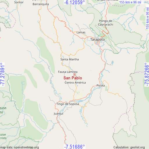
San Pablo GPS coordinates[2]
6° 49' 9.228" South, 76° 34' 32.808" West
| Map corner | latitude | longitude |
|---|---|---|
| Upper-left | -6.12059°, | -77.27891° |
| Center: | -6.81923°, | -76.57578° |
| Lower-right: | -7.51686°, | -75.87266° |
| Map W x H: | 155.3×155.3 km | = 96.5×96.5mi |
| max Lat: | -0.96667° ⇑18.4% North |
| San Pablo: | -6.81923° |
| min Lat: | ⇓81.6% South -18.01465° |
| min Long | San Pablo | max Long |
| -81.30472° | -76.57578° | -69.04167° |
| W 39.9%⇐ | ⇒60.1% E |
Elevation
Elevation of San Pablo is 276 m = 906 ft, and this is 2042.7 m = 6702 ft below average elevation for this country.
| Max E: |
5022 m = 16476 ft | 81.5% |
| Avg. | 2318.7 m = 7607 ft | |
| San Pablo | 276 m = 906 ft | |
Min E: |
1 m = 3 ft | 18.5% |
See also: Peru elevation on elevation.city.
Geographical zone
San Pablo is located in South Torrid zone (between Equator and Tropic of Capricorn). Distance of Equator is 758.2 km =471.1 mi to North.| Distance of | km | miles | from San Pablo |
|---|---|---|---|
| Equator | 758.2 | 471.1 | to North |
| Tropic Capricorn | 1847.7 | 1148.1 | to South |
| Antarctic Circle | 6642.9 | 4127.7 | to South |
| South Pole | 9248.8 | 5746.9 | to South |


Nearby cities:
15 places around San Pablo: (largest is in red/bold)
• Agua Blanca
17.1 km =10.6 mi,  308°
308°
• Bellavista
26.4 km =16.4 mi,  183°
183°
• Buenos Aires
27.7 km =17.2 mi,  83°
83°
• Caspisapa
23.2 km =14.4 mi,  131°
131°
• Picota
29.2 km =18.1 mi,  112°
112°
• Pilluana
31.8 km =19.8 mi, 81°
• Piscoyacu
27.7 km =17.2 mi,  229°
229°
• Pucacaca
26.1 km =16.2 mi,  97°
97°
• Puerto Rico
25.9 km =16.1 mi,  138°
138°
• Sacanche
31.8 km =19.8 mi,  208°
208°
• San Rafael
26 km =16.2 mi,  154°
154°
• Santa Rosa
15.8 km =9.8 mi,  343°
343°
• Saposoa
25.1 km =15.6 mi,  239°
239°
• Sisa
26.5 km =16.5 mi,  330°
330°
• Zapatero
33.5 km =20.8 mi,  15°
15°
Sources, notices
• [Note1] Compared only with cities in Peru existing in our database
• [Src1] Map data: © OpenStreetMap contributors (CC-BY-SA)
• [Src2] Other city data from geonames.org with taken over terms of usage.
• [Src3] Geographical zone / Annual Mean Temperature by Robert A. Rohde @ Wikipedia
