Quillo geodata
Quillo (Ancash) is a seat of a third-order administrative division; located in Peru in America/Lima (GMT-5) time zone. In our database, there are 305 cities with bigger population. Compared to other cities in Peru, 65.9% of cities are located further ↓South; 81.7% of cities are located further →East and 70.9% of cities have higher elevation than Quillo. Note1


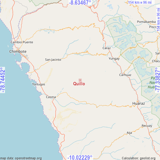
Quillo GPS coordinates[2]
9° 19' 45.012" South, 78° 2' 29.004" West
| Map corner | latitude | longitude |
|---|---|---|
| Upper-left | -8.63467°, | -78.74452° |
| Center: | -9.32917°, | -78.04139° |
| Lower-right: | -10.02229°, | -77.33827° |
| Map W x H: | 154.3×154.3 km | = 95.9×95.9mi |
| max Lat: | -0.96667° ⇑34.1% North |
| Quillo: | -9.32917° |
| min Lat: | ⇓65.9% South -18.01465° |
| min Long | Quillo | max Long |
| -81.30472° | -78.04139° | -69.04167° |
| W 18.3%⇐ | ⇒81.7% E |
Elevation
Elevation of Quillo is 1259 m = 4131 ft, and this is 1059.7 m = 3477 ft below average elevation for this country.
| Max E: |
5022 m = 16476 ft | 70.9% |
| Avg. | 2318.7 m = 7607 ft | |
| Quillo | 1259 m = 4131 ft | |
Min E: |
1 m = 3 ft | 29.1% |
See also: Peru elevation on elevation.city.
Geographical zone
Quillo is located in South Torrid zone (between Equator and Tropic of Capricorn). Distance of Equator is 1037.3 km =644.5 mi to North.| Distance of | km | miles | from Quillo |
|---|---|---|---|
| Equator | 1037.3 | 644.5 | to North |
| Tropic Capricorn | 1568.6 | 974.7 | to South |
| Antarctic Circle | 6363.9 | 3954.3 | to South |
| South Pole | 8969.8 | 5573.6 | to South |


Nearby cities:
15 places around Quillo: (largest is in red/bold)
• Carhuac
39 km =24.2 mi,  78°
78°
• Cascapara
37.5 km =23.3 mi,  72°
72°
• Casma
32.8 km =20.4 mi,  240°
240°
• Cochabamba
27.1 km =16.8 mi,  132°
132°
• Colcabamba
37.5 km =23.3 mi,  138°
138°
• Huata
40.1 km =24.9 mi,  29°
29°
• Mancos
39.1 km =24.3 mi, 66°
• Matacoto
36.2 km =22.5 mi,  62°
62°
• Moro
26.2 km =16.3 mi,  323°
323°
• Nepeña
39 km =24.2 mi,  296°
296°
• Pamparomas
29.2 km =18.1 mi,  13°
13°
• Ranrahirca
39.2 km =24.4 mi, 63°
• Shupluy
40.1 km =24.9 mi, 71°
• Tinco
40.3 km =25 mi, 80°
• Yungay
39 km =24.2 mi, 57°
Sources, notices
• [Note1] Compared only with cities in Peru existing in our database
• [Src1] Map data: © OpenStreetMap contributors (CC-BY-SA)
• [Src2] Other city data from geonames.org with taken over terms of usage.
• [Src3] Geographical zone / Annual Mean Temperature by Robert A. Rohde @ Wikipedia
