Paita geodata
Paita (Piura) is a seat of a third-order administrative division; located in Peru in America/Lima (GMT-5) time zone. With population of 56,151 people, there are 31 cities with bigger population in this country. Compared to other cities in Peru, 95.1% of cities are located further ↓South; 99.6% of cities are located further →East and 97.2% of cities have higher elevation than Paita. Note1


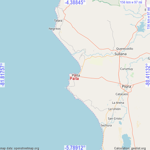
Paita GPS coordinates[2]
5° 5' 21.012" South, 81° 6' 51.984" West
| Map corner | latitude | longitude |
|---|---|---|
| Upper-left | -4.38845°, | -81.81757° |
| Center: | -5.08917°, | -81.11444° |
| Lower-right: | -5.78912°, | -80.41132° |
| Map W x H: | 155.7×155.7 km | = 96.7×96.7mi |
| max Lat: | -0.96667° ⇑4.9% North |
| Paita: | -5.08917° |
| min Lat: | ⇓95.1% South -18.01465° |
| min Long | Paita | max Long |
| -81.30472° | -81.11444° | -69.04167° |
| W 0.4%⇐ | ⇒99.6% E |
Elevation
Elevation of Paita is 16 m = 52 ft, and this is 2302.7 m = 7555 ft below average elevation for this country.
| Max E: |
5022 m = 16476 ft | 97.2% |
| Avg. | 2318.7 m = 7607 ft | |
| Paita | 16 m = 52 ft | |
Min E: |
1 m = 3 ft | 2.8% |
See also: Paita elevation on elevation.city.
Geographical zone
Paita is located in South Torrid zone (between Equator and Tropic of Capricorn). Distance of Equator is 565.9 km =351.6 mi to North.| Distance of | km | miles | from Paita |
|---|---|---|---|
| Equator | 565.9 | 351.6 | to North |
| Tropic Capricorn | 2040.1 | 1267.7 | to South |
| Antarctic Circle | 6835.3 | 4247.3 | to South |
| South Pole | 9441.2 | 5866.5 | to South |


Nearby cities:
15 places around Paita: (largest is in red/bold)
• Amotape
25.5 km =15.8 mi,  25°
25°
• Arenal
24.8 km =15.4 mi,  22°
22°
• Catacaos
51.7 km =32.1 mi,  112°
112°
• La Arena
50.2 km =31.2 mi,  122°
122°
• La Huaca
26.1 km =16.2 mi,  40°
40°
• La Unión
54 km =33.6 mi,  130°
130°
• Marcavelica
51.1 km =31.8 mi,  62°
62°
• Negritos
52.8 km =32.8 mi,  336°
336°
• Salinera Colán
8.2 km =5.1 mi, 40°
• Salitral
54.5 km =33.9 mi, 61°
• San Jacinto
38 km =23.6 mi, 43°
• Sojo
39.1 km =24.3 mi, 57°
• Sullana
51.8 km =32.2 mi,  66°
66°
• Tamarindo
28.3 km =17.6 mi, 33°
• Vice
51.7 km =32.1 mi, 134°
Sources, notices
• [Note1] Compared only with cities in Peru existing in our database
• [Src1] Map data: © OpenStreetMap contributors (CC-BY-SA)
• [Src2] Other city data from geonames.org with taken over terms of usage.
• [Src3] Geographical zone / Annual Mean Temperature by Robert A. Rohde @ Wikipedia
