Tambillo geodata
Tambillo (Ayacucho) is a seat of a third-order administrative division; located in Peru in America/Lima (GMT-5) time zone. In our database, there are 305 cities with bigger population. Compared to other cities in Peru, 62.9% of cities are located further ↑North; 65.2% of cities are located further ←West and 57% of cities have lower elevation than Tambillo. Note1


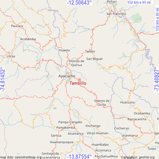
Tambillo GPS coordinates[2]
13° 11' 30.984" South, 74° 6' 41.004" West
| Map corner | latitude | longitude |
|---|---|---|
| Upper-left | -12.50643°, | -74.81452° |
| Center: | -13.19194°, | -74.11139° |
| Lower-right: | -13.87554°, | -73.40827° |
| Map W x H: | 152.2×152.2 km | = 94.6×94.6mi |
| max Lat: | -0.96667° ⇑62.9% North |
| Tambillo: | -13.19194° |
| min Lat: | ⇓37.1% South -18.01465° |
| min Long | Tambillo | max Long |
| -81.30472° | -74.11139° | -69.04167° |
| W 65.2%⇐ | ⇒34.8% E |
Elevation
Elevation of Tambillo is 3081 m = 10108 ft, and this is 762.3 m = 2501 ft above average elevation for this country.
| Max E: |
5022 m = 16476 ft | 43% |
| Tambillo | 3081 m 10108 ft | |
| Avg. | 2318.7 m = 7607 ft | |
Min E: |
1 m = 3 ft | 57% |
See also: Peru elevation on elevation.city.
Geographical zone
Tambillo is located in South Torrid zone (between Equator and Tropic of Capricorn). Distance of this Southern Tropic circle is 1139.1 km =707.8 mi to South.| Distance of | km | miles | from Tambillo |
|---|---|---|---|
| Equator | 1466.8 | 911.4 | to North |
| Tropic Capricorn | 1139.1 | 707.8 | to South |
| Antarctic Circle | 5934.4 | 3687.5 | to South |
| South Pole | 8540.3 | 5306.7 | to South |


Nearby cities:
15 places around Tambillo: (largest is in red/bold)
• Acocro
7.9 km =4.9 mi,  111°
111°
• Ayacucho
12.7 km =7.9 mi,  286°
286°
• Carmen Alto
12.3 km =7.6 mi,  275°
275°
• Chiara
13.5 km =8.4 mi,  228°
228°
• Chilcas
22.3 km =13.9 mi,  84°
84°
• Huamanguilla
21.4 km =13.3 mi,  340°
340°
• Macachacra
25.1 km =15.6 mi, 337°
• Pacaycasa
18.7 km =11.6 mi,  323°
323°
• Pampas
23.9 km =14.9 mi,  99°
99°
• Quinua
16.1 km =10 mi,  349°
349°
• San Miguel
24.5 km =15.2 mi,  35°
35°
• Socos
19.4 km =12.1 mi,  262°
262°
• Tambo
30.5 km =19 mi,  19°
19°
• Ticllas
24.9 km =15.5 mi, 285°
• Vinchos
26.7 km =16.6 mi, 258°
Sources, notices
• [Note1] Compared only with cities in Peru existing in our database
• [Src1] Map data: © OpenStreetMap contributors (CC-BY-SA)
• [Src2] Other city data from geonames.org with taken over terms of usage.
• [Src3] Geographical zone / Annual Mean Temperature by Robert A. Rohde @ Wikipedia
