Puyca geodata
Puyca (Arequipa) is a seat of a third-order administrative division; located in Peru in America/Lima (GMT-5) time zone. In our database, there are 305 cities with bigger population. Compared to other cities in Peru, 85.8% of cities are located further ↑North; 76% of cities are located further ←West and 84.7% of cities have lower elevation than Puyca. Note1


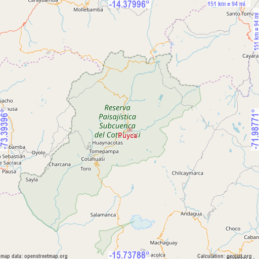
Puyca GPS coordinates[2]
15° 3' 36" South, 72° 41' 26.988" West
| Map corner | latitude | longitude |
|---|---|---|
| Upper-left | -14.37996°, | -73.39396° |
| Center: | -15.06°, | -72.69083° |
| Lower-right: | -15.73788°, | -71.98771° |
| Map W x H: | 151×151 km | = 93.8×93.8mi |
| max Lat: | -0.96667° ⇑85.8% North |
| Puyca: | -15.06° |
| min Lat: | ⇓14.2% South -18.01465° |
| min Long | Puyca | max Long |
| -81.30472° | -72.69083° | -69.04167° |
| W 76%⇐ | ⇒24% E |
Elevation
Elevation of Puyca is 3650 m = 11975 ft, and this is 1331.3 m = 4368 ft above average elevation for this country.
| Max E: |
5022 m = 16476 ft | 15.3% |
| Puyca | 3650 m 11975 ft | |
| Avg. | 2318.7 m = 7607 ft | |
Min E: |
1 m = 3 ft | 84.7% |
See also: Peru elevation on elevation.city.
Geographical zone
Puyca is located in South Torrid zone (between Equator and Tropic of Capricorn). Distance of this Southern Tropic circle is 931.4 km =578.7 mi to South.| Distance of | km | miles | from Puyca |
|---|---|---|---|
| Equator | 1674.5 | 1040.5 | to North |
| Tropic Capricorn | 931.4 | 578.7 | to South |
| Antarctic Circle | 5726.7 | 3558.4 | to South |
| South Pole | 8332.5 | 5177.6 | to South |


Nearby cities:
15 places around Puyca: (largest is in red/bold)
• Alca
11.5 km =7.1 mi,  223°
223°
• Charcana
45.5 km =28.3 mi,  243°
243°
• Chichas
59.5 km =37 mi,  204°
204°
• Colta
65.8 km =40.9 mi,  260°
260°
• Corculla
59.2 km =36.8 mi,  247°
247°
• Cotahuasi
27.2 km =16.9 mi,  231°
231°
• Mungui
26.8 km =16.7 mi, 239°
• Orcopampa
43.9 km =27.3 mi,  121°
121°
• Oyolo
54.8 km =34.1 mi, 255°
• Tauria
66.8 km =41.5 mi, 240°
• Taurisma
21.4 km =13.3 mi, 233°
• Tomepampa
19.6 km =12.2 mi, 230°
• Toro
34.2 km =21.3 mi, 228°
• Velinga
42.7 km =26.5 mi, 236°
• Viraco
68.7 km =42.7 mi,  165°
165°
Sources, notices
• [Note1] Compared only with cities in Peru existing in our database
• [Src1] Map data: © OpenStreetMap contributors (CC-BY-SA)
• [Src2] Other city data from geonames.org with taken over terms of usage.
• [Src3] Geographical zone / Annual Mean Temperature by Robert A. Rohde @ Wikipedia
