Bolívar geodata
Bolívar (La Libertad) is a seat of a third-order administrative division; located in Peru in America/Lima (GMT-5) time zone. In our database, there are 305 cities with bigger population. Compared to other cities in Peru, 78.3% of cities are located further ↓South; 76% of cities are located further →East and 93% of cities have lower elevation than Bolívar. Note1


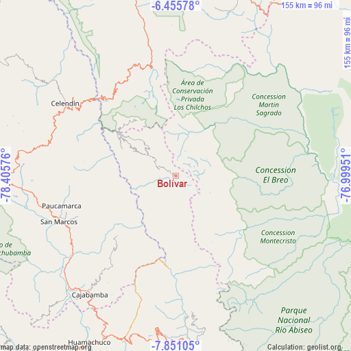
Bolívar GPS coordinates[2]
7° 9' 14.22" South, 77° 42' 9.468" West
| Map corner | latitude | longitude |
|---|---|---|
| Upper-left | -6.45578°, | -78.40576° |
| Center: | -7.15395°, | -77.70263° |
| Lower-right: | -7.85105°, | -76.99951° |
| Map W x H: | 155.1×155.1 km | = 96.4×96.4mi |
| max Lat: | -0.96667° ⇑21.7% North |
| Bolívar: | -7.15395° |
| min Lat: | ⇓78.3% South -18.01465° |
| min Long | Bolívar | max Long |
| -81.30472° | -77.70263° | -69.04167° |
| W 24%⇐ | ⇒76% E |
Elevation
Elevation of Bolívar is 3933 m = 12904 ft, and this is 1614.3 m = 5296 ft above average elevation for this country.
| Max E: |
5022 m = 16476 ft | 7% |
| Bolívar | 3933 m 12904 ft | |
| Avg. | 2318.7 m = 7607 ft | |
Min E: |
1 m = 3 ft | 93% |
See also: Peru elevation on elevation.city.
Geographical zone
Bolívar is located in South Torrid zone (between Equator and Tropic of Capricorn). Distance of Equator is 795.4 km =494.2 mi to North.| Distance of | km | miles | from Bolívar |
|---|---|---|---|
| Equator | 795.4 | 494.2 | to North |
| Tropic Capricorn | 1810.5 | 1125 | to South |
| Antarctic Circle | 6605.7 | 4104.6 | to South |
| South Pole | 9211.6 | 5723.8 | to South |


Nearby cities:
15 places around Bolívar: (largest is in red/bold)
• Balsas
49.7 km =30.9 mi,  315°
315°
• Celendín
58.5 km =36.4 mi,  303°
303°
• Chuquibamba
29.5 km =18.3 mi,  325°
325°
• Huacapampa
53.5 km =33.2 mi, 297°
• La Grama
58.9 km =36.6 mi,  233°
233°
• Lluchubamba
50.5 km =31.4 mi,  215°
215°
• Longotea
25.5 km =15.8 mi,  292°
292°
• Lucmapampa
49.4 km =30.7 mi, 297°
• Oxamarca
42.3 km =26.3 mi, 288°
• San Marcos
56.6 km =35.2 mi,  249°
249°
• Sartimbamba
60.8 km =37.8 mi,  184°
184°
• Shirac
44.1 km =27.4 mi,  240°
240°
• Sucre
55.1 km =34.2 mi, 296°
• Ucuncha
20.1 km =12.5 mi,  276°
276°
• Utco
46.5 km =28.9 mi, 304°
Sources, notices
• [Note1] Compared only with cities in Peru existing in our database
• [Src1] Map data: © OpenStreetMap contributors (CC-BY-SA)
• [Src2] Other city data from geonames.org with taken over terms of usage.
• [Src3] Geographical zone / Annual Mean Temperature by Robert A. Rohde @ Wikipedia
