Uturoa geodata
Uturoa (Leeward Islands) is a seat of a first-order administrative division; located in French Polynesia in Pacific/Tahiti (GMT-10) time zone. With population of 3,668 people, there are 14 cities with bigger population in this country. Compared to other cities in French Polynesia, 84.6% of cities are located further ↓South; 89.7% of cities are located further →East and 56.4% of cities have higher elevation than Uturoa. Note1


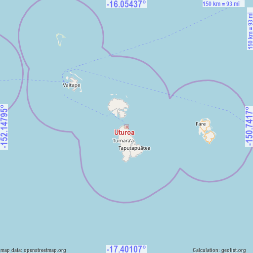
Uturoa GPS coordinates[2]
16° 43' 44.076" South, 151° 26' 41.352" West
| Map corner | latitude | longitude |
|---|---|---|
| Upper-left | -16.05437°, | -152.14795° |
| Center: | -16.72891°, | -151.44482° |
| Lower-right: | -17.40107°, | -150.7417° |
| Map W x H: | 149.7×149.7 km | = 93×93mi |
| max Lat: | -8.91093° ⇑15.4% North |
| Uturoa: | -16.72891° |
| min Lat: | ⇓84.6% South -23.34722° |
| min Long | Uturoa | max Long |
| -151.74913° | -151.44482° | -134.96858° |
| W 10.3%⇐ | ⇒89.7% E |
Elevation
Elevation of Uturoa is 8 m = 26 ft, and this is 14.6 m = 48 ft below average elevation for this country.
| Max E: |
245 m = 804 ft | 56.4% |
| Avg. | 22.6 m = 74 ft | |
| Uturoa | 8 m = 26 ft | |
Min E: |
1 m = 3 ft | 43.6% |
See also: French Polynesia elevation on elevation.city.
Geographical zone
Uturoa is located in South Torrid zone (between Equator and Tropic of Capricorn). Distance of this Southern Tropic circle is 745.8 km =463.4 mi to South.| Distance of | km | miles | from Uturoa |
|---|---|---|---|
| Equator | 1860.1 | 1155.8 | to North |
| Tropic Capricorn | 745.8 | 463.4 | to South |
| Antarctic Circle | 5541.1 | 3443.1 | to South |
| South Pole | 8147 | 5062.3 | to South |


Nearby cities:
15 places around Uturoa: (largest is in red/bold)
• Afareaitu
198.7 km =123.5 mi,  117°
117°
• Anau
38.8 km =24.1 mi,  310°
310°
• Faaa
216.2 km =134.3 mi,  114°
114°
• Faanui
41.5 km =25.8 mi, 310°
• Fare
43.7 km =27.2 mi,  87°
87°
• Fitii
43.9 km =27.3 mi, 90°
• Haapiti
191.4 km =118.9 mi, 118°
• Haapu
46.7 km =29 mi,  98°
98°
• Paopao
193.5 km =120.2 mi, 116°
• Papeete
218.9 km =136 mi, 114°
• Papetoai
187.4 km =116.4 mi, 117°
• Punaauia
220.3 km =136.9 mi, 117°
• Teavaro
197.9 km =123 mi, 115°
• Tevaitoa
8.4 km =5.2 mi,  214°
214°
• Vaitape
40.7 km =25.3 mi, 307°
Sources, notices
• [Note1] Compared only with cities in French Polynesia existing in our database
• [Src1] Map data: © OpenStreetMap contributors (CC-BY-SA)
• [Src2] Other city data from geonames.org with taken over terms of usage.
• [Src3] Geographical zone / Annual Mean Temperature by Robert A. Rohde @ Wikipedia
