Umabay geodata
Umabay (Bicol) is a populated place; located in Philippines in Asia/Manila (GMT+8) time zone. With population of 3,480 people, there are 2069 cities with bigger population in this country. Compared to other cities in Philippines, 53.5% of cities are located further ↓South; 65.3% of cities are located further ←West and 60.8% of cities have higher elevation than Umabay. Note1


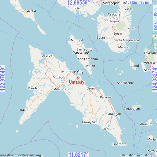
Umabay GPS coordinates[2]
12° 18' 34.344" North, 123° 40' 46.596" East
| Map corner | latitude | longitude |
|---|---|---|
| Upper-left | 12.99559°, | 122.97649° |
| Center: | 12.30954°, | 123.67961° |
| Lower-right: | 11.6217°, | 124.38274° |
| Map W x H: | 152.8×152.8 km | = 94.9×94.9mi |
| max Lat: | 20.78733° ⇑46.5% North |
| Umabay: | 12.30954° |
| min Lat: | ⇓53.5% South 4.65442° |
| min Long | Umabay | max Long |
| 117.04868° | 123.67961° | 126.58417° |
| W 65.3%⇐ | ⇒34.7% E |
Elevation
Elevation of Umabay is 16 m = 52 ft, and this is 71.9 m = 236 ft below average elevation for this country.
| Max E: |
2262 m = 7421 ft | 60.8% |
| Avg. | 87.9 m = 288 ft | |
| Umabay | 16 m = 52 ft | |
Min E: |
-2 m = -7 ft | 39.2% |
See also: Philippines elevation on elevation.city.
Geographical zone
Umabay is located in North Torrid zone (between Equator and Tropic of Cancer). Distance of this Northern Tropic circle is 1237.2 km =768.8 mi to North.| Distance of | km | miles | from Umabay |
|---|---|---|---|
| North Pole | 8638.4 | 5367.7 | to North |
| Arctic Circle | 6032.5 | 3748.4 | to North |
| Tropic Cancer | 1237.2 | 768.8 | to North |
| Equator | 1368.7 | 850.5 | to South |


Nearby cities:
15 places around Umabay: (largest is in red/bold)
• Armenia
9.4 km =5.8 mi,  131°
131°
• Batuan
13.3 km =8.3 mi,  42°
42°
• Buenavista
19.1 km =11.9 mi,  140°
140°
• Bulo
16.6 km =10.3 mi,  312°
312°
• Dapdap
14.1 km =8.8 mi, 138°
• Hamoraon
16.8 km =10.4 mi,  236°
236°
• Magsalangi
18.7 km =11.6 mi,  221°
221°
• Malinta
13.2 km =8.2 mi,  266°
266°
• Marintoc
5.4 km =3.4 mi,  119°
119°
• Masbate
9.1 km =5.7 mi,  319°
319°
• Mayngaran
9.7 km =6 mi,  296°
296°
• Miaga
16.9 km =10.5 mi, 118°
• Mobo
3.8 km =2.4 mi, 320°
• Usab
11 km =6.8 mi,  281°
281°
• Uson
14.7 km =9.1 mi, 129°
Sources, notices
• [Note1] Compared only with cities in Philippines existing in our database
• [Src1] Map data: © OpenStreetMap contributors (CC-BY-SA)
• [Src2] Other city data from geonames.org with taken over terms of usage.
• [Src3] Geographical zone / Annual Mean Temperature by Robert A. Rohde @ Wikipedia
