Taytay geodata
Taytay (Mimaropa) is a seat of a third-order administrative division; located in Philippines in Asia/Manila (GMT+8) time zone. With population of 7,717 people, there are 803 cities with bigger population in this country. Compared to other cities in Philippines, 59.3% of cities are located further ↑North; 98.7% of cities are located further →East and 51.8% of cities have higher elevation than Taytay. Note1


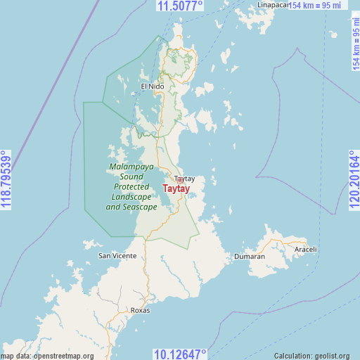
Taytay GPS coordinates[2]
10° 49' 4.368" North, 119° 29' 54.636" East
| Map corner | latitude | longitude |
|---|---|---|
| Upper-left | 11.5077°, | 118.79539° |
| Center: | 10.81788°, | 119.49851° |
| Lower-right: | 10.12647°, | 120.20164° |
| Map W x H: | 153.6×153.6 km | = 95.4×95.4mi |
| max Lat: | 20.78733° ⇑59.3% North |
| Taytay: | 10.81788° |
| min Lat: | ⇓40.7% South 4.65442° |
| min Long | Taytay | max Long |
| 117.04868° | 119.49851° | 126.58417° |
| W 1.3%⇐ | ⇒98.7% E |
Elevation
Elevation of Taytay is 22 m = 72 ft, and this is 65.9 m = 216 ft below average elevation for this country.
| Max E: |
2262 m = 7421 ft | 51.8% |
| Avg. | 87.9 m = 288 ft | |
| Taytay | 22 m = 72 ft | |
Min E: |
-2 m = -7 ft | 48.2% |
See also: Philippines elevation on elevation.city.
Geographical zone
Taytay is located in North Torrid zone (between Equator and Tropic of Cancer). Distance of Equator is 1202.8 km =747.4 mi to South.| Distance of | km | miles | from Taytay |
|---|---|---|---|
| North Pole | 8804.2 | 5470.7 | to North |
| Arctic Circle | 6198.3 | 3851.4 | to North |
| Tropic Cancer | 1403.1 | 871.8 | to North |
| Equator | 1202.8 | 747.4 | to South |


Nearby cities:
15 places around Taytay: (largest is in red/bold)
• Alemanguan
29.6 km =18.4 mi,  219°
219°
• Bato
3.1 km =1.9 mi,  284°
284°
• Calauag
18.4 km =11.4 mi,  154°
154°
• Casian
33.7 km =20.9 mi,  44°
44°
• Dumaran
43.8 km =27.2 mi,  137°
137°
• El Nido
42.4 km =26.3 mi,  344°
344°
• Guinlo
6.8 km =4.2 mi,  253°
253°
• Limanancong
24.4 km =15.2 mi,  321°
321°
• New Agutaya
35.3 km =21.9 mi, 216°
• Osmeña
57.2 km =35.5 mi,  125°
125°
• Pancol
10.8 km =6.7 mi,  303°
303°
• Port Barton
46.9 km =29.1 mi, 215°
• Roxas
57.7 km =35.9 mi,  196°
196°
• San Vicente
41.6 km =25.8 mi, 219°
• Tumarbong
49.3 km =30.6 mi,  185°
185°
Sources, notices
• [Note1] Compared only with cities in Philippines existing in our database
• [Src1] Map data: © OpenStreetMap contributors (CC-BY-SA)
• [Src2] Other city data from geonames.org with taken over terms of usage.
• [Src3] Geographical zone / Annual Mean Temperature by Robert A. Rohde @ Wikipedia
