Osmeña geodata
Osmeña (Mimaropa) is a populated place; located in Philippines in Asia/Manila (GMT+8) time zone. With population of 4,866 people, there are 1352 cities with bigger population in this country. Compared to other cities in Philippines, 63% of cities are located further ↑North; 97.7% of cities are located further →East and 59.2% of cities have higher elevation than Osmeña. Note1


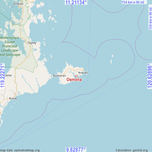
Osmeña GPS coordinates[2]
10° 31' 14.988" North, 119° 55' 32.988" East
| Map corner | latitude | longitude |
|---|---|---|
| Upper-left | 11.21134°, | 119.22271° |
| Center: | 10.52083°, | 119.92583° |
| Lower-right: | 9.82877°, | 120.62896° |
| Map W x H: | 153.7×153.7 km | = 95.5×95.5mi |
| max Lat: | 20.78733° ⇑63% North |
| Osmeña: | 10.52083° |
| min Lat: | ⇓37% South 4.65442° |
| min Long | Osmeña | max Long |
| 117.04868° | 119.92583° | 126.58417° |
| W 2.3%⇐ | ⇒97.7% E |
Elevation
Elevation of Osmeña is 17 m = 56 ft, and this is 70.9 m = 233 ft below average elevation for this country.
| Max E: |
2262 m = 7421 ft | 59.2% |
| Avg. | 87.9 m = 288 ft | |
| Osmeña | 17 m = 56 ft | |
Min E: |
-2 m = -7 ft | 40.8% |
See also: Philippines elevation on elevation.city.
Geographical zone
Osmeña is located in North Torrid zone (between Equator and Tropic of Cancer). Distance of Equator is 1169.8 km =726.9 mi to South.| Distance of | km | miles | from Osmeña |
|---|---|---|---|
| North Pole | 8837.3 | 5491.2 | to North |
| Arctic Circle | 6231.4 | 3872 | to North |
| Tropic Cancer | 1436.1 | 892.4 | to North |
| Equator | 1169.8 | 726.9 | to South |


Nearby cities:
15 places around Osmeña: (largest is in red/bold)
• Alemanguan
66.3 km =41.2 mi,  278°
278°
• Araceli
8 km =5 mi,  63°
63°
• Bato
60.1 km =37.3 mi,  304°
304°
• Calauag
42.1 km =26.2 mi,  292°
292°
• Casian
61.7 km =38.3 mi,  337°
337°
• Dumaran
17.4 km =10.8 mi,  271°
271°
• Guinlo
61.7 km =38.3 mi, 300°
• Limanancong
80.9 km =50.3 mi,  310°
310°
• New Agutaya
67.7 km =42.1 mi, 273°
• Pancol
68 km =42.3 mi, 304°
• Port Barton
74.4 km =46.2 mi, 266°
• Roxas
67.3 km =41.8 mi,  250°
250°
• San Vicente
73.4 km =45.6 mi, 270°
• Taytay
57.2 km =35.5 mi, 305°
• Tumarbong
53.6 km =33.3 mi, 252°
Sources, notices
• [Note1] Compared only with cities in Philippines existing in our database
• [Src1] Map data: © OpenStreetMap contributors (CC-BY-SA)
• [Src2] Other city data from geonames.org with taken over terms of usage.
• [Src3] Geographical zone / Annual Mean Temperature by Robert A. Rohde @ Wikipedia
