Tala geodata
Tala (Calabarzon) is a populated place; located in Philippines in Asia/Manila (GMT+8) time zone. With population of 4,270 people, there are 1604 cities with bigger population in this country. Compared to other cities in Philippines, 59.7% of cities are located further ↓South; 53.2% of cities are located further →East and 87.7% of cities have lower elevation than Tala. Note1
Administrative division(s):
- Level 1: Calabarzon
- Level 2: Province of Quezon
- Level 3: San Francisco (Aurora)


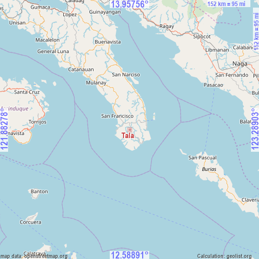
Tala GPS coordinates[2]
13° 16' 27.12" North, 122° 35' 9.24" East
| Map corner | latitude | longitude |
|---|---|---|
| Upper-left | 13.95756°, | 121.88278° |
| Center: | 13.2742°, | 122.5859° |
| Lower-right: | 12.58891°, | 123.28903° |
| Map W x H: | 152.2×152.2 km | = 94.6×94.6mi |
| max Lat: | 20.78733° ⇑40.3% North |
| Tala: | 13.2742° |
| min Lat: | ⇓59.7% South 4.65442° |
| min Long | Tala | max Long |
| 117.04868° | 122.5859° | 126.58417° |
| W 46.8%⇐ | ⇒53.2% E |
Elevation
Elevation of Tala is 176 m = 577 ft, and this is 88.1 m = 289 ft above average elevation for this country.
| Max E: |
2262 m = 7421 ft | 12.3% |
| Tala | 176 m 577 ft | |
| Avg. | 87.9 m = 288 ft | |
Min E: |
-2 m = -7 ft | 87.7% |
See also: Philippines elevation on elevation.city.
Geographical zone
Tala is located in North Torrid zone (between Equator and Tropic of Cancer). Distance of this Northern Tropic circle is 1130 km =702.1 mi to North.| Distance of | km | miles | from Tala |
|---|---|---|---|
| North Pole | 8531.1 | 5301 | to North |
| Arctic Circle | 5925.2 | 3681.7 | to North |
| Tropic Cancer | 1130 | 702.1 | to North |
| Equator | 1476 | 917.1 | to South |


Nearby cities:
15 places around Tala: (largest is in red/bold)
• Aurora
10.9 km =6.8 mi,  318°
318°
• Binay
25.4 km =15.8 mi,  3°
3°
• Bosdak
16.8 km =10.4 mi,  326°
326°
• Camp Flora
12 km =7.5 mi,  44°
44°
• Casay
7.1 km =4.4 mi,  260°
260°
• Cawayan
13.2 km =8.2 mi, 321°
• Ibabang Tayuman
16.3 km =10.1 mi, 332°
• Mangero
9.9 km =6.2 mi,  92°
92°
• Pagsañgahan
8 km =5 mi,  215°
215°
• Pansoy
10.4 km =6.5 mi,  171°
171°
• Patabog
23.5 km =14.6 mi, 323°
• San Andres
11.3 km =7 mi,  61°
61°
• Silongin
7.5 km =4.7 mi,  292°
292°
• Talisay
11.2 km =7 mi,  158°
158°
• Yuni
18.9 km =11.7 mi, 324°
Sources, notices
• [Note1] Compared only with cities in Philippines existing in our database
• [Src1] Map data: © OpenStreetMap contributors (CC-BY-SA)
• [Src2] Other city data from geonames.org with taken over terms of usage.
• [Src3] Geographical zone / Annual Mean Temperature by Robert A. Rohde @ Wikipedia
