Binay geodata
Binay (Calabarzon) is a populated place; located in Philippines in Asia/Manila (GMT+8) time zone. With population of 2,828 people, there are 2745 cities with bigger population in this country. Compared to other cities in Philippines, 62.2% of cities are located further ↓South; 52.9% of cities are located further →East and 58.8% of cities have lower elevation than Binay. Note1


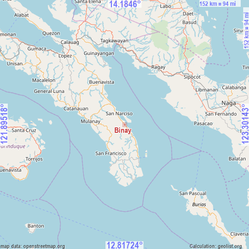
Binay GPS coordinates[2]
13° 30' 6.84" North, 122° 35' 53.88" East
| Map corner | latitude | longitude |
|---|---|---|
| Upper-left | 14.1846°, | 121.89518° |
| Center: | 13.5019°, | 122.5983° |
| Lower-right: | 12.81724°, | 123.30143° |
| Map W x H: | 152×152 km | = 94.4×94.4mi |
| max Lat: | 20.78733° ⇑37.8% North |
| Binay: | 13.5019° |
| min Lat: | ⇓62.2% South 4.65442° |
| min Long | Binay | max Long |
| 117.04868° | 122.5983° | 126.58417° |
| W 47.1%⇐ | ⇒52.9% E |
Elevation
Elevation of Binay is 32 m = 105 ft, and this is 55.9 m = 183 ft below average elevation for this country.
| Max E: |
2262 m = 7421 ft | 41.2% |
| Avg. | 87.9 m = 288 ft | |
| Binay | 32 m = 105 ft | |
Min E: |
-2 m = -7 ft | 58.8% |
See also: Philippines elevation on elevation.city.
Geographical zone
Binay is located in North Torrid zone (between Equator and Tropic of Cancer). Distance of this Northern Tropic circle is 1104.6 km =686.4 mi to North.| Distance of | km | miles | from Binay |
|---|---|---|---|
| North Pole | 8505.8 | 5285.3 | to North |
| Arctic Circle | 5899.9 | 3666 | to North |
| Tropic Cancer | 1104.6 | 686.4 | to North |
| Equator | 1501.3 | 932.9 | to South |


Nearby cities:
15 places around Binay: (largest is in red/bold)
• Abuyon
15.9 km =9.9 mi,  327°
327°
• Aurora
19.2 km =11.9 mi,  206°
206°
• Bagupaye
23.6 km =14.7 mi,  287°
287°
• Bosdak
15.5 km =9.6 mi,  223°
223°
• Cambuga
20.5 km =12.7 mi,  308°
308°
• Camp Flora
18.2 km =11.3 mi,  157°
157°
• Cawayan
17.8 km =11.1 mi, 212°
• Ibabang Tayuman
14 km =8.7 mi, 219°
• Lacdayan
13 km =8.1 mi, 327°
• Mulanay
21.1 km =13.1 mi,  276°
276°
• Patabog
16.7 km =10.4 mi,  247°
247°
• San Andres
21.7 km =13.5 mi, 156°
• San Juan
3 km =1.9 mi,  322°
322°
• San Narciso
8.1 km =5 mi, 334°
• Yuni
15.8 km =9.8 mi,  231°
231°
Sources, notices
• [Note1] Compared only with cities in Philippines existing in our database
• [Src1] Map data: © OpenStreetMap contributors (CC-BY-SA)
• [Src2] Other city data from geonames.org with taken over terms of usage.
• [Src3] Geographical zone / Annual Mean Temperature by Robert A. Rohde @ Wikipedia
