Sapol geodata
Sapol (Central Luzon) is a populated place; located in Philippines in Asia/Manila (GMT+8) time zone. With population of 2,840 people, there are 2722 cities with bigger population in this country. Compared to other cities in Philippines, 60.8% of cities are located further ↓South; 71.8% of cities are located further →East and 67.4% of cities have higher elevation than Sapol. Note1


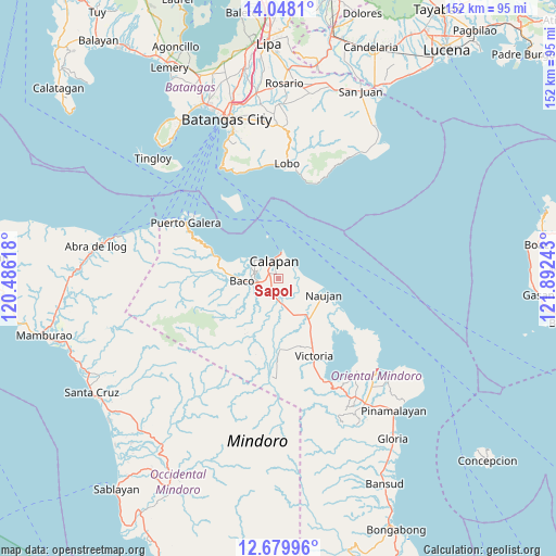
Sapol GPS coordinates[2]
13° 21' 54" North, 121° 11' 21.48" East
| Map corner | latitude | longitude |
|---|---|---|
| Upper-left | 14.0481°, | 120.48618° |
| Center: | 13.365°, | 121.1893° |
| Lower-right: | 12.67996°, | 121.89243° |
| Map W x H: | 152.1×152.1 km | = 94.5×94.5mi |
| max Lat: | 20.78733° ⇑39.2% North |
| Sapol: | 13.365° |
| min Lat: | ⇓60.8% South 4.65442° |
| min Long | Sapol | max Long |
| 117.04868° | 121.1893° | 126.58417° |
| W 28.2%⇐ | ⇒71.8% E |
Elevation
Elevation of Sapol is 13 m = 43 ft, and this is 74.9 m = 246 ft below average elevation for this country.
| Max E: |
2262 m = 7421 ft | 67.4% |
| Avg. | 87.9 m = 288 ft | |
| Sapol | 13 m = 43 ft | |
Min E: |
-2 m = -7 ft | 32.6% |
See also: Philippines elevation on elevation.city.
Geographical zone
Sapol is located in North Torrid zone (between Equator and Tropic of Cancer). Distance of this Northern Tropic circle is 1119.9 km =695.9 mi to North.| Distance of | km | miles | from Sapol |
|---|---|---|---|
| North Pole | 8521 | 5294.7 | to North |
| Arctic Circle | 5915.1 | 3675.5 | to North |
| Tropic Cancer | 1119.9 | 695.9 | to North |
| Equator | 1486 | 923.4 | to South |


Nearby cities:
15 places around Sapol: (largest is in red/bold)
• Apitong
14.1 km =8.8 mi,  171°
171°
• Baco
9.9 km =6.2 mi,  265°
265°
• Bayanan
2.2 km =1.4 mi,  252°
252°
• Biga
6.8 km =4.2 mi,  206°
206°
• Calapan
5.3 km =3.3 mi,  349°
349°
• Canubing No 2
6.3 km =3.9 mi, 254°
• Communal
13.5 km =8.4 mi,  204°
204°
• Dulangan
10.6 km =6.6 mi,  231°
231°
• Estrella
13.8 km =8.6 mi,  106°
106°
• Evangelista
10.6 km =6.6 mi, 250°
• Manogpi
6.2 km =3.9 mi, 165°
• Nagiba
10 km =6.2 mi, 112°
• Naujan
13.1 km =8.1 mi, 110°
• Pinagsabangan
14 km =8.7 mi,  142°
142°
• San Vincente
4.9 km =3 mi,  341°
341°
Sources, notices
• [Note1] Compared only with cities in Philippines existing in our database
• [Src1] Map data: © OpenStreetMap contributors (CC-BY-SA)
• [Src2] Other city data from geonames.org with taken over terms of usage.
• [Src3] Geographical zone / Annual Mean Temperature by Robert A. Rohde @ Wikipedia
