San Policarpo geodata
San Policarpo (Eastern Visayas) is a seat of a third-order administrative division; located in Philippines in Asia/Manila (GMT+8) time zone. With population of 3,581 people, there are 1997 cities with bigger population in this country. Compared to other cities in Philippines, 52.6% of cities are located further ↓South; 93.6% of cities are located further ←West and 89.7% of cities have higher elevation than San Policarpo. Note1
Administrative division(s):
- Level 1: Eastern Visayas
- Level 2: Province of Eastern Samar
- Level 3: San Policarpo


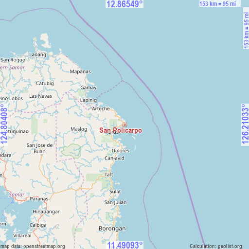
San Policarpo GPS coordinates[2]
12° 10' 44.76" North, 125° 30' 25.92" East
| Map corner | latitude | longitude |
|---|---|---|
| Upper-left | 12.86549°, | 124.80408° |
| Center: | 12.1791°, | 125.5072° |
| Lower-right: | 11.49093°, | 126.21033° |
| Map W x H: | 152.8×152.8 km | = 94.9×94.9mi |
| max Lat: | 20.78733° ⇑47.4% North |
| San Policarpo: | 12.1791° |
| min Lat: | ⇓52.6% South 4.65442° |
| min Long | San Policarpo | max Long |
| 117.04868° | 125.5072° | 126.58417° |
| W 93.6%⇐ | ⇒6.4% E |
Elevation
Elevation of San Policarpo is 7 m = 23 ft, and this is 80.9 m = 265 ft below average elevation for this country.
| Max E: |
2262 m = 7421 ft | 89.7% |
| Avg. | 87.9 m = 288 ft | |
| San Policarpo | 7 m = 23 ft | |
Min E: |
-2 m = -7 ft | 10.3% |
See also: Philippines elevation on elevation.city.
Geographical zone
San Policarpo is located in North Torrid zone (between Equator and Tropic of Cancer). Distance of this Northern Tropic circle is 1251.7 km =777.8 mi to North.| Distance of | km | miles | from San Policarpo |
|---|---|---|---|
| North Pole | 8652.9 | 5376.7 | to North |
| Arctic Circle | 6047 | 3757.4 | to North |
| Tropic Cancer | 1251.7 | 777.8 | to North |
| Equator | 1354.2 | 841.5 | to South |


Nearby cities:
15 places around San Policarpo: (largest is in red/bold)
• Alugan
5.3 km =3.3 mi,  326°
326°
• Arteche
14.6 km =9.1 mi,  310°
310°
• Cagamotan
31.2 km =19.4 mi, 309°
• Can-Avid
21.5 km =13.4 mi,  197°
197°
• Dao
11.6 km =7.2 mi,  220°
220°
• Dapdap
13.2 km =8.2 mi,  189°
189°
• Dolores
16 km =9.9 mi, 189°
• Gamay
32.3 km =20.1 mi,  315°
315°
• Hipadpad
31.7 km =19.7 mi,  291°
291°
• Lapinig
26.8 km =16.7 mi,  304°
304°
• Maslog
29.9 km =18.6 mi,  263°
263°
• Oras
8.5 km =5.3 mi,  239°
239°
• Patong
29.8 km =18.5 mi, 305°
• San Eduardo
6.3 km =3.9 mi, 258°
• Taft
32.4 km =20.1 mi, 197°
Sources, notices
• [Note1] Compared only with cities in Philippines existing in our database
• [Src1] Map data: © OpenStreetMap contributors (CC-BY-SA)
• [Src2] Other city data from geonames.org with taken over terms of usage.
• [Src3] Geographical zone / Annual Mean Temperature by Robert A. Rohde @ Wikipedia
