Pang geodata
Pang (Autonomous Region in Muslim Mindanao) is a populated place; located in Philippines in Asia/Manila (GMT+8) time zone. With population of 2,563 people, there are 3184 cities with bigger population in this country. Compared to other cities in Philippines, 98.3% of cities are located further ↑North; 70.3% of cities are located further →East and 78.9% of cities have lower elevation than Pang. Note1
Administrative division(s):
- Level 1: Autonomous Region in Muslim Mindanao
- Level 2: Province of Sulu
- Level 3: Kalingalan Caluang


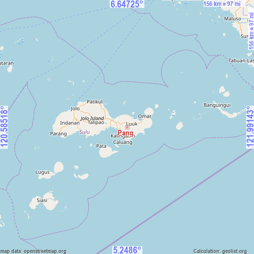
Pang GPS coordinates[2]
5° 56' 54.132" North, 121° 17' 17.88" East
| Map corner | latitude | longitude |
|---|---|---|
| Upper-left | 6.64725°, | 120.58518° |
| Center: | 5.94837°, | 121.2883° |
| Lower-right: | 5.2486°, | 121.99143° |
| Map W x H: | 155.5×155.5 km | = 96.6×96.6mi |
| max Lat: | 20.78733° ⇑98.3% North |
| Pang: | 5.94837° |
| min Lat: | ⇓1.7% South 4.65442° |
| min Long | Pang | max Long |
| 117.04868° | 121.2883° | 126.58417° |
| W 29.7%⇐ | ⇒70.3% E |
Elevation
Elevation of Pang is 85 m = 279 ft, and this is 2.9 m = 10 ft below average elevation for this country.
| Max E: |
2262 m = 7421 ft | 21.1% |
| Avg. | 87.9 m = 288 ft | |
| Pang | 85 m = 279 ft | |
Min E: |
-2 m = -7 ft | 78.9% |
See also: Philippines elevation on elevation.city.
Geographical zone
Pang is located in North Torrid zone (between Equator and Tropic of Cancer). Distance of Equator is 661.4 km =411 mi to South.| Distance of | km | miles | from Pang |
|---|---|---|---|
| North Pole | 9345.7 | 5807.1 | to North |
| Arctic Circle | 6739.8 | 4187.9 | to North |
| Tropic Cancer | 1944.5 | 1208.3 | to North |
| Equator | 661.4 | 411 | to South |


Nearby cities:
15 places around Pang: (largest is in red/bold)
• Andalan
11.3 km =7 mi,  83°
83°
• Kalang
8.9 km =5.5 mi,  111°
111°
• Kambing
2.1 km =1.3 mi,  95°
95°
• Kanlagay
8.1 km =5 mi,  177°
177°
• Kansipati
8.4 km =5.2 mi,  314°
314°
• Karungdong
7.6 km =4.7 mi,  201°
201°
• Kulay-Kulay
6.2 km =3.9 mi,  266°
266°
• Lu-uk
3.5 km =2.2 mi,  49°
49°
• Mahala
17.5 km =10.9 mi,  258°
258°
• New Panamao
9.8 km =6.1 mi, 271°
• Pananaw
8.9 km =5.5 mi,  294°
294°
• Pandakan
14.3 km =8.9 mi, 288°
• Pitogo
7.2 km =4.5 mi,  158°
158°
• Punay
10.1 km =6.3 mi,  278°
278°
• Tunggol
18.8 km =11.7 mi,  232°
232°
Sources, notices
• [Note1] Compared only with cities in Philippines existing in our database
• [Src1] Map data: © OpenStreetMap contributors (CC-BY-SA)
• [Src2] Other city data from geonames.org with taken over terms of usage.
• [Src3] Geographical zone / Annual Mean Temperature by Robert A. Rohde @ Wikipedia
