Palomoc geodata
Palomoc (Zamboanga Peninsula) is a populated place; located in Philippines in Asia/Manila (GMT+8) time zone. With population of 2,147 people, there are 3993 cities with bigger population in this country. Compared to other cities in Philippines, 83.4% of cities are located further ↑North; 53.3% of cities are located further →East and 83.6% of cities have lower elevation than Palomoc. Note1
Administrative division(s):
- Level 1: Zamboanga Peninsula
- Level 2: Province of Zamboanga Sibugay
- Level 3: Titay


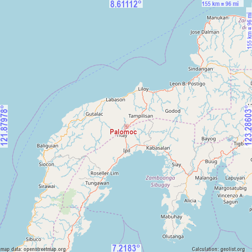
Palomoc GPS coordinates[2]
7° 54' 55.08" North, 122° 34' 58.44" East
| Map corner | latitude | longitude |
|---|---|---|
| Upper-left | 8.61112°, | 121.87978° |
| Center: | 7.9153°, | 122.5829° |
| Lower-right: | 7.2183°, | 123.28603° |
| Map W x H: | 154.9×154.9 km | = 96.3×96.3mi |
| max Lat: | 20.78733° ⇑83.4% North |
| Palomoc: | 7.9153° |
| min Lat: | ⇓16.6% South 4.65442° |
| min Long | Palomoc | max Long |
| 117.04868° | 122.5829° | 126.58417° |
| W 46.7%⇐ | ⇒53.3% E |
Elevation
Elevation of Palomoc is 122 m = 400 ft, and this is 34.1 m = 112 ft above average elevation for this country.
| Max E: |
2262 m = 7421 ft | 16.4% |
| Palomoc | 122 m 400 ft | |
| Avg. | 87.9 m = 288 ft | |
Min E: |
-2 m = -7 ft | 83.6% |
See also: Philippines elevation on elevation.city.
Geographical zone
Palomoc is located in North Torrid zone (between Equator and Tropic of Cancer). Distance of Equator is 880.1 km =546.9 mi to South.| Distance of | km | miles | from Palomoc |
|---|---|---|---|
| North Pole | 9127 | 5671.3 | to North |
| Arctic Circle | 6521.1 | 4052 | to North |
| Tropic Cancer | 1725.8 | 1072.4 | to North |
| Equator | 880.1 | 546.9 | to South |


Nearby cities:
15 places around Palomoc: (largest is in red/bold)
• Batu
32.6 km =20.3 mi,  123°
123°
• Dalangin
7.2 km =4.5 mi,  183°
183°
• Gutalac
21 km =13 mi,  290°
290°
• Ipil
14.6 km =9.1 mi, 178°
• Kabasalan
24 km =14.9 mi, 123°
• Kalawit
18.3 km =11.4 mi,  336°
336°
• Kipit
15.6 km =9.7 mi, 339°
• Labason
18.4 km =11.4 mi, 338°
• Liloy
23.7 km =14.7 mi,  20°
20°
• Naga
24.5 km =15.2 mi,  131°
131°
• Patawag
21.7 km =13.5 mi,  11°
11°
• Roseller Lim
31.5 km =19.6 mi,  203°
203°
• Salug
31.3 km =19.4 mi,  44°
44°
• Tampilisan
15.8 km =9.8 mi, 44°
• Titay
12.6 km =7.8 mi,  205°
205°
Sources, notices
• [Note1] Compared only with cities in Philippines existing in our database
• [Src1] Map data: © OpenStreetMap contributors (CC-BY-SA)
• [Src2] Other city data from geonames.org with taken over terms of usage.
• [Src3] Geographical zone / Annual Mean Temperature by Robert A. Rohde @ Wikipedia
