Pakiad geodata
Pakiad (Western Visayas) is a populated place; located in Philippines in Asia/Manila (GMT+8) time zone. With population of 2,689 people, there are 2966 cities with bigger population in this country. Compared to other cities in Philippines, 60.7% of cities are located further ↑North; 54.2% of cities are located further →East and 73.2% of cities have higher elevation than Pakiad. Note1
Administrative division(s):
- Level 1: Western Visayas
- Level 2: Province of Iloilo
- Level 3: Iloilo City


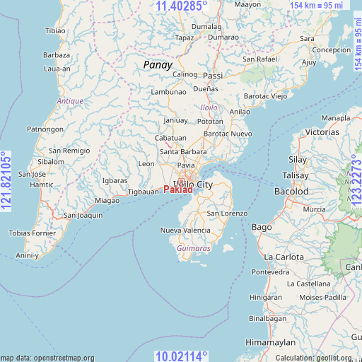
Pakiad GPS coordinates[2]
10° 42' 46.008" North, 122° 31' 27.012" East
| Map corner | latitude | longitude |
|---|---|---|
| Upper-left | 11.40285°, | 121.82105° |
| Center: | 10.71278°, | 122.52417° |
| Lower-right: | 10.02114°, | 123.2273° |
| Map W x H: | 153.6×153.6 km | = 95.4×95.4mi |
| max Lat: | 20.78733° ⇑60.7% North |
| Pakiad: | 10.71278° |
| min Lat: | ⇓39.3% South 4.65442° |
| min Long | Pakiad | max Long |
| 117.04868° | 122.52417° | 126.58417° |
| W 45.8%⇐ | ⇒54.2% E |
Elevation
Elevation of Pakiad is 11 m = 36 ft, and this is 76.9 m = 252 ft below average elevation for this country.
| Max E: |
2262 m = 7421 ft | 73.2% |
| Avg. | 87.9 m = 288 ft | |
| Pakiad | 11 m = 36 ft | |
Min E: |
-2 m = -7 ft | 26.8% |
See also: Philippines elevation on elevation.city.
Geographical zone
Pakiad is located in North Torrid zone (between Equator and Tropic of Cancer). Distance of Equator is 1191.1 km =740.1 mi to South.| Distance of | km | miles | from Pakiad |
|---|---|---|---|
| North Pole | 8815.9 | 5477.9 | to North |
| Arctic Circle | 6210 | 3858.7 | to North |
| Tropic Cancer | 1414.8 | 879.1 | to North |
| Equator | 1191.1 | 740.1 | to South |


Nearby cities:
15 places around Pakiad: (largest is in red/bold)
• Abilay
3.5 km =2.2 mi,  310°
310°
• Aganan
7.9 km =4.9 mi,  7°
7°
• Balabag
6.6 km =4.1 mi,  328°
328°
• Balibagan Oeste
9.7 km =6 mi,  355°
355°
• Buray
7.1 km =4.4 mi,  271°
271°
• Cagbang
3.1 km =1.9 mi,  242°
242°
• Iloilo
4.7 km =2.9 mi,  111°
111°
• Jibao-an
8.3 km =5.2 mi,  341°
341°
• Oton
5.9 km =3.7 mi,  248°
248°
• Pavia
7.4 km =4.6 mi,  18°
18°
• San Jose
6.5 km =4 mi, 9°
• San Nicolas
4.4 km =2.7 mi,  224°
224°
• Santa Monica
8.2 km =5.1 mi,  288°
288°
• Tigum
9.1 km =5.7 mi,  30°
30°
• Ungca
5 km =3.1 mi, 34°
Sources, notices
• [Note1] Compared only with cities in Philippines existing in our database
• [Src1] Map data: © OpenStreetMap contributors (CC-BY-SA)
• [Src2] Other city data from geonames.org with taken over terms of usage.
• [Src3] Geographical zone / Annual Mean Temperature by Robert A. Rohde @ Wikipedia
