Muladbucad geodata
Muladbucad (Bicol) is a populated place; located in Philippines in Asia/Manila (GMT+8) time zone. With population of 3,988 people, there are 1736 cities with bigger population in this country. Compared to other cities in Philippines, 59.2% of cities are located further ↓South; 64% of cities are located further ←West and 87.8% of cities have lower elevation than Muladbucad. Note1


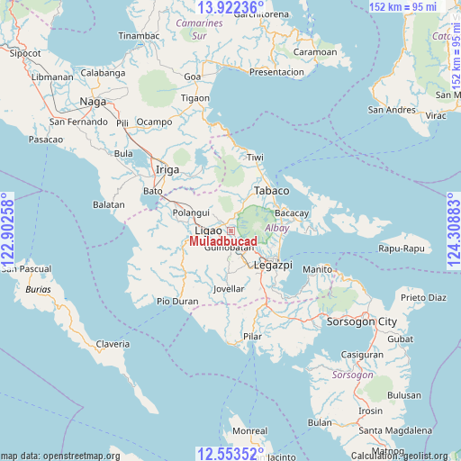
Muladbucad GPS coordinates[2]
13° 14' 20.04" North, 123° 36' 20.52" East
| Map corner | latitude | longitude |
|---|---|---|
| Upper-left | 13.92236°, | 122.90258° |
| Center: | 13.2389°, | 123.6057° |
| Lower-right: | 12.55352°, | 124.30883° |
| Map W x H: | 152.2×152.2 km | = 94.6×94.6mi |
| max Lat: | 20.78733° ⇑40.8% North |
| Muladbucad: | 13.2389° |
| min Lat: | ⇓59.2% South 4.65442° |
| min Long | Muladbucad | max Long |
| 117.04868° | 123.6057° | 126.58417° |
| W 64%⇐ | ⇒36% E |
Elevation
Elevation of Muladbucad is 178 m = 584 ft, and this is 90.1 m = 296 ft above average elevation for this country.
| Max E: |
2262 m = 7421 ft | 12.2% |
| Muladbucad | 178 m 584 ft | |
| Avg. | 87.9 m = 288 ft | |
Min E: |
-2 m = -7 ft | 87.8% |
See also: Philippines elevation on elevation.city.
Geographical zone
Muladbucad is located in North Torrid zone (between Equator and Tropic of Cancer). Distance of this Northern Tropic circle is 1133.9 km =704.6 mi to North.| Distance of | km | miles | from Muladbucad |
|---|---|---|---|
| North Pole | 8535 | 5303.4 | to North |
| Arctic Circle | 5929.1 | 3684.2 | to North |
| Tropic Cancer | 1133.9 | 704.6 | to North |
| Equator | 1472 | 914.7 | to South |


Nearby cities:
15 places around Muladbucad: (largest is in red/bold)
• Anuling
8.3 km =5.2 mi,  113°
113°
• Balinad
8.8 km =5.5 mi,  312°
312°
• Balogo
8.1 km =5 mi, 311°
• Batana
4.7 km =2.9 mi,  285°
285°
• Bonga
6.5 km =4 mi,  247°
247°
• Buang
9 km =5.6 mi,  26°
26°
• Camalig
8.2 km =5.1 mi,  140°
140°
• Guinobatan
5.3 km =3.3 mi,  188°
188°
• Herrera
4.6 km =2.9 mi,  317°
317°
• Ligao
9.7 km =6 mi,  255°
255°
• Mahaba
6.7 km =4.2 mi,  298°
298°
• Masaraway
1.7 km =1.1 mi, 143°
• San Rafael
2.5 km =1.6 mi, 194°
• Tinago
7.8 km =4.8 mi, 142°
• Tuburan
5.8 km =3.6 mi,  273°
273°
Sources, notices
• [Note1] Compared only with cities in Philippines existing in our database
• [Src1] Map data: © OpenStreetMap contributors (CC-BY-SA)
• [Src2] Other city data from geonames.org with taken over terms of usage.
• [Src3] Geographical zone / Annual Mean Temperature by Robert A. Rohde @ Wikipedia
