Mallig geodata
Mallig (Cagayan Valley) is a seat of a third-order administrative division; located in Philippines in Asia/Manila (GMT+8) time zone. In our database, there are 4166 cities with bigger population. Compared to other cities in Philippines, 94.8% of cities are located further ↓South; 65.3% of cities are located further →East and 74.3% of cities have lower elevation than Mallig. Note1


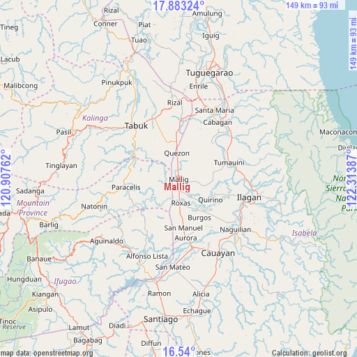
Mallig GPS coordinates[2]
17° 12' 46.224" North, 121° 36' 38.664" East
| Map corner | latitude | longitude |
|---|---|---|
| Upper-left | 17.88324°, | 120.90762° |
| Center: | 17.21284°, | 121.61074° |
| Lower-right: | 16.54°, | 122.31387° |
| Map W x H: | 149.4×149.4 km | = 92.8×92.8mi |
| max Lat: | 20.78733° ⇑5.2% North |
| Mallig: | 17.21284° |
| min Lat: | ⇓94.8% South 4.65442° |
| min Long | Mallig | max Long |
| 117.04868° | 121.61074° | 126.58417° |
| W 34.7%⇐ | ⇒65.3% E |
Elevation
Elevation of Mallig is 66 m = 217 ft, and this is 21.9 m = 72 ft below average elevation for this country.
| Max E: |
2262 m = 7421 ft | 25.7% |
| Avg. | 87.9 m = 288 ft | |
| Mallig | 66 m = 217 ft | |
Min E: |
-2 m = -7 ft | 74.3% |
See also: Philippines elevation on elevation.city.
Geographical zone
Mallig is located in North Torrid zone (between Equator and Tropic of Cancer). Distance of this Northern Tropic circle is 692 km =430 mi to North.| Distance of | km | miles | from Mallig |
|---|---|---|---|
| North Pole | 8093.2 | 5028.9 | to North |
| Arctic Circle | 5487.3 | 3409.6 | to North |
| Tropic Cancer | 692 | 430 | to North |
| Equator | 1913.9 | 1189.2 | to South |


Nearby cities:
15 places around Mallig: (largest is in red/bold)
• Abut
15.8 km =9.8 mi,  356°
356°
• Barucboc Norte
5.1 km =3.2 mi,  353°
353°
• Burgos
16.9 km =10.5 mi,  144°
144°
• Cullalabo del Sur
15.8 km =9.8 mi, 141°
• Muñoz East
6.2 km =3.9 mi,  177°
177°
• Paracelis
16.4 km =10.2 mi,  291°
291°
• Quezon
11.1 km =6.9 mi, 357°
• Quirino
13 km =8.1 mi,  132°
132°
• Roxas
10.5 km =6.5 mi,  174°
174°
• San Jose
7.1 km =4.4 mi,  189°
189°
• San Mateo
16.6 km =10.3 mi,  120°
120°
• Sandiat Centro
15.8 km =9.8 mi, 169°
• Santo Domingo
16.1 km =10 mi,  111°
111°
• Siempre Viva
2.9 km =1.8 mi,  53°
53°
• Simimbaan
10.9 km =6.8 mi,  196°
196°
Sources, notices
• [Note1] Compared only with cities in Philippines existing in our database
• [Src1] Map data: © OpenStreetMap contributors (CC-BY-SA)
• [Src2] Other city data from geonames.org with taken over terms of usage.
• [Src3] Geographical zone / Annual Mean Temperature by Robert A. Rohde @ Wikipedia
