Litayan geodata
Litayan (Autonomous Region in Muslim Mindanao) is a populated place; located in Philippines in Asia/Manila (GMT+8) time zone. With population of 5,294 people, there are 1203 cities with bigger population in this country. Compared to other cities in Philippines, 88.2% of cities are located further ↑North; 71.8% of cities are located further ←West and 61.5% of cities have lower elevation than Litayan. Note1
Administrative division(s):
- Level 1: Autonomous Region in Muslim Mindanao
- Level 2: Province of Maguindanao
- Level 3: Parang


Litayan GPS coordinates[2]
7° 20' 8.988" North, 124° 2' 4.992" East
| Map corner | latitude | longitude |
|---|---|---|
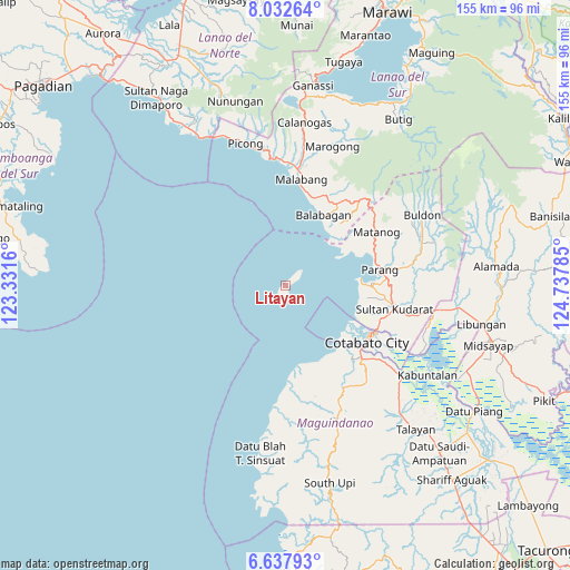
| Upper-left | 8.03264°, | 123.3316° |
| Center: | 7.33583°, | 124.03472° |
| Lower-right: | 6.63793°, | 124.73785° |
| Map W x H: | 155.1×155.1 km | = 96.4×96.4mi |
| max Lat: | 20.78733° ⇑88.2% North |
| Litayan: | 7.33583° |
| min Lat: | ⇓11.8% South 4.65442° |
| min Long | Litayan | max Long |
| 117.04868° | 124.03472° | 126.58417° |
| W 71.8%⇐ | ⇒28.2% E |
Elevation
Elevation of Litayan is 36 m = 118 ft, and this is 51.9 m = 170 ft below average elevation for this country.
| Max E: |
2262 m = 7421 ft | 38.5% |
| Avg. | 87.9 m = 288 ft | |
| Litayan | 36 m = 118 ft | |
Min E: |
-2 m = -7 ft | 61.5% |
See also: Philippines elevation on elevation.city.
Geographical zone
Litayan is located in North Torrid zone (between Equator and Tropic of Cancer). Distance of Equator is 815.7 km =506.9 mi to South.| Distance of | km | miles | from Litayan |
|---|---|---|---|
| North Pole | 9191.4 | 5711.3 | to North |
| Arctic Circle | 6585.5 | 4092 | to North |
| Tropic Cancer | 1790.3 | 1112.4 | to North |
| Equator | 815.7 | 506.9 | to South |


Nearby cities:
15 places around Litayan: (largest is in red/bold)
• Baka
26.2 km =16.3 mi,  104°
104°
• Balabagan
22.9 km =14.2 mi,  22°
22°
• Bualan
28.5 km =17.7 mi,  64°
64°
• Bugasan
27.4 km =17 mi, 64°
• Cotabato
26.5 km =16.5 mi,  118°
118°
• Gang
27.4 km =17 mi,  111°
111°
• Katuli
22.8 km =14.2 mi, 61°
• Limbo
24.9 km =15.5 mi, 112°
• Malabang
28.6 km =17.8 mi,  7°
7°
• Parang
26.2 km =16.3 mi,  81°
81°
• Polloc
20.6 km =12.8 mi, 84°
• Salimbao
27.2 km =16.9 mi, 117°
• Sultan Kudarat
27.3 km =17 mi, 115°
• Tamontaka
27.2 km =16.9 mi,  129°
129°
• Tapayan
25.9 km =16.1 mi, 100°
Sources, notices
• [Note1] Compared only with cities in Philippines existing in our database
• [Src1] Map data: © OpenStreetMap contributors (CC-BY-SA)
• [Src2] Other city data from geonames.org with taken over terms of usage.
• [Src3] Geographical zone / Annual Mean Temperature by Robert A. Rohde @ Wikipedia
