Jarigue geodata
Jarigue (Western Visayas) is a populated place; located in Philippines in Asia/Manila (GMT+8) time zone. With population of 2,105 people, there are 4064 cities with bigger population in this country. Compared to other cities in Philippines, 51.2% of cities are located further ↓South; 67.7% of cities are located further →East and 76.6% of cities have higher elevation than Jarigue. Note1


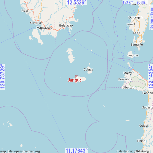
Jarigue GPS coordinates[2]
11° 51' 55.368" North, 121° 26' 25.476" East
| Map corner | latitude | longitude |
|---|---|---|
| Upper-left | 12.5526°, | 120.73729° |
| Center: | 11.86538°, | 121.44041° |
| Lower-right: | 11.17643°, | 122.14354° |
| Map W x H: | 153×153 km | = 95.1×95.1mi |
| max Lat: | 20.78733° ⇑48.8% North |
| Jarigue: | 11.86538° |
| min Lat: | ⇓51.2% South 4.65442° |
| min Long | Jarigue | max Long |
| 117.04868° | 121.44041° | 126.58417° |
| W 32.3%⇐ | ⇒67.7% E |
Elevation
Elevation of Jarigue is 10 m = 33 ft, and this is 77.9 m = 256 ft below average elevation for this country.
| Max E: |
2262 m = 7421 ft | 76.6% |
| Avg. | 87.9 m = 288 ft | |
| Jarigue | 10 m = 33 ft | |
Min E: |
-2 m = -7 ft | 23.4% |
See also: Philippines elevation on elevation.city.
Geographical zone
Jarigue is located in North Torrid zone (between Equator and Tropic of Cancer). Distance of this Northern Tropic circle is 1286.6 km =799.5 mi to North.| Distance of | km | miles | from Jarigue |
|---|---|---|---|
| North Pole | 8687.8 | 5398.3 | to North |
| Arctic Circle | 6081.9 | 3779.1 | to North |
| Tropic Cancer | 1286.6 | 799.5 | to North |
| Equator | 1319.3 | 819.8 | to South |


Nearby cities:
15 places around Jarigue: (largest is in red/bold)
• Alibug
46.6 km =29 mi,  330°
330°
• Balabag
53.4 km =33.2 mi,  77°
77°
• Bulalacao
52.2 km =32.4 mi,  348°
348°
• Buruanga
48.8 km =30.3 mi,  92°
92°
• Caluya
13.8 km =8.6 mi,  57°
57°
• Libertad
53.2 km =33.1 mi,  101°
101°
• Malabonot
53.4 km =33.2 mi, 77°
• Malay
51.1 km =31.8 mi, 85°
• Manoc-Manoc
55.3 km =34.4 mi, 81°
• Mauhao
49.6 km =30.8 mi,  342°
342°
• Santa Teresa
55.8 km =34.7 mi,  320°
320°
• Semirara
23.2 km =14.4 mi, 348°
• Tinogboc
16.1 km =10 mi, 349°
• Union
51 km =31.7 mi, 103°
• Yapak
54.4 km =33.8 mi, 80°
Sources, notices
• [Note1] Compared only with cities in Philippines existing in our database
• [Src1] Map data: © OpenStreetMap contributors (CC-BY-SA)
• [Src2] Other city data from geonames.org with taken over terms of usage.
• [Src3] Geographical zone / Annual Mean Temperature by Robert A. Rohde @ Wikipedia
